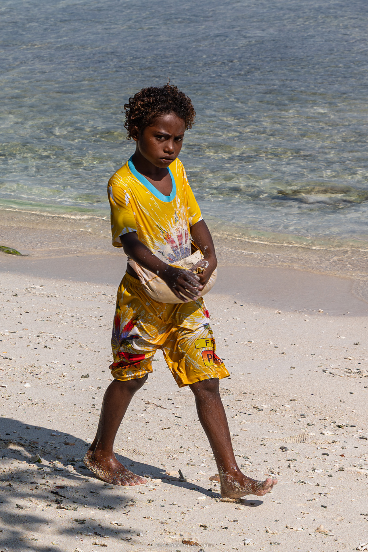
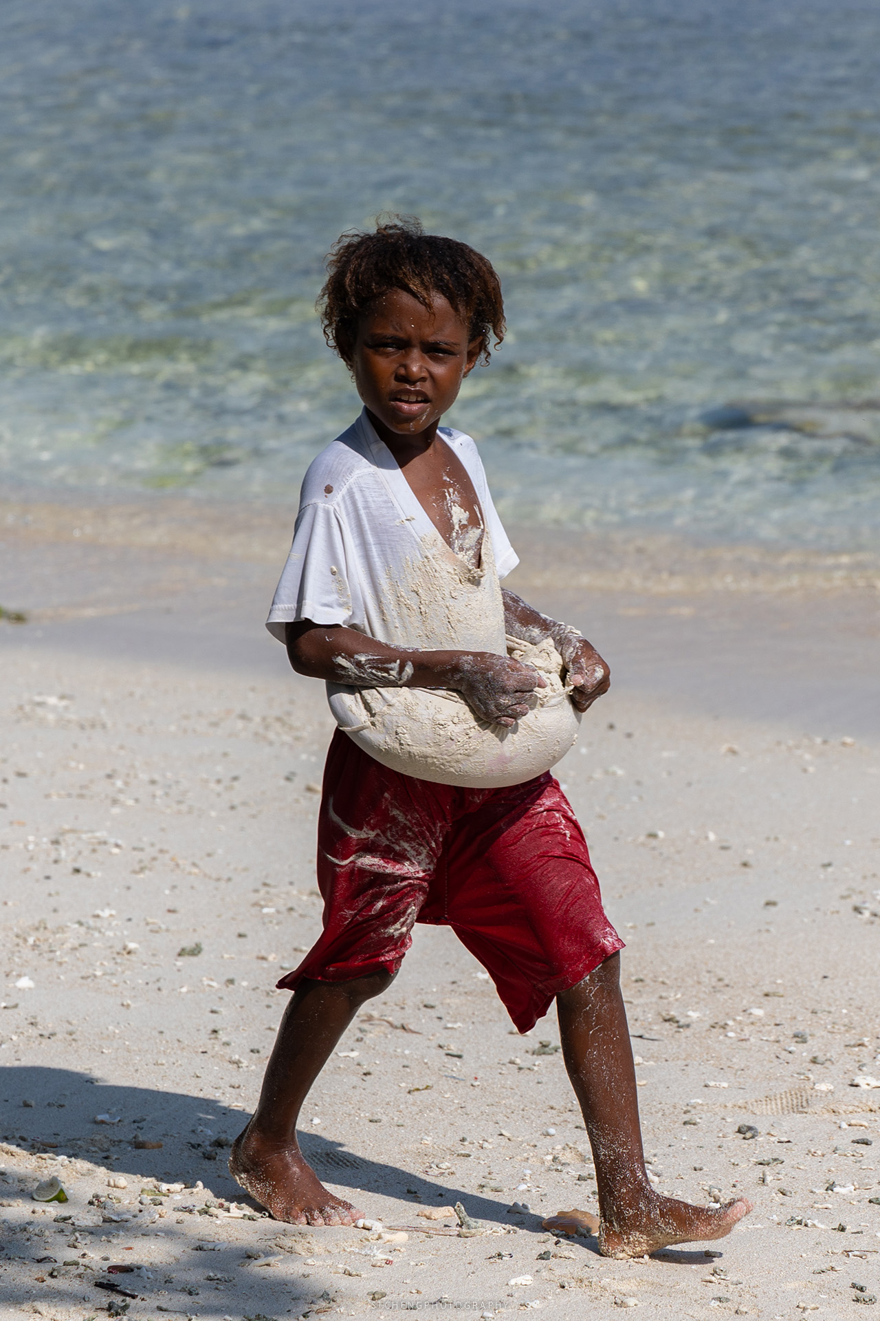
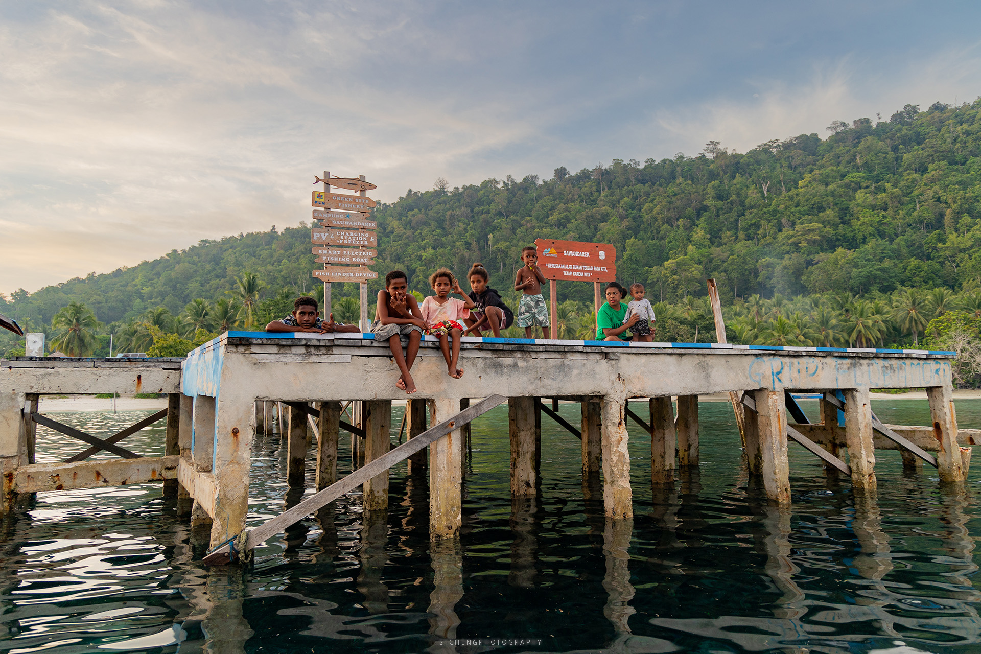
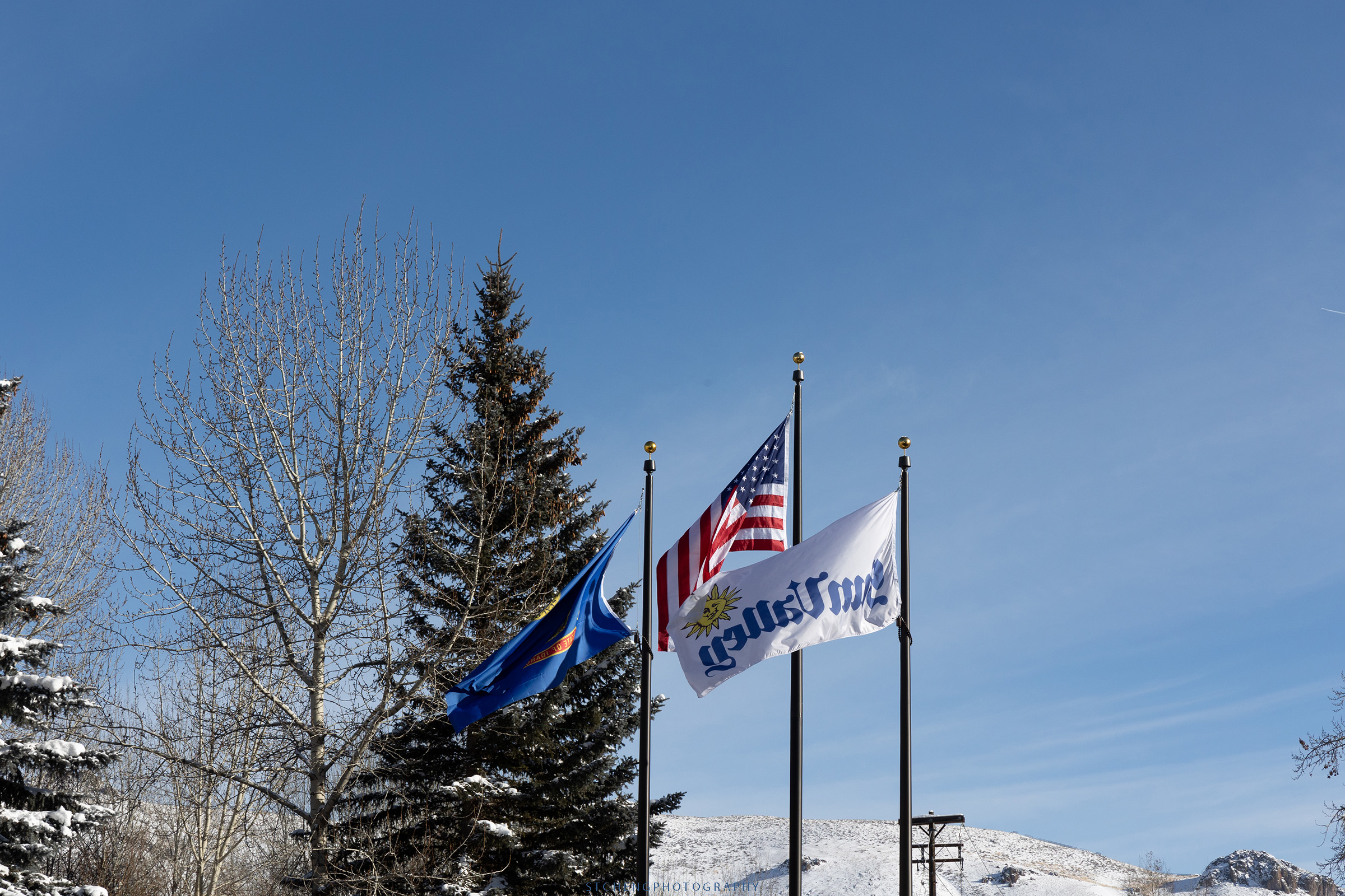
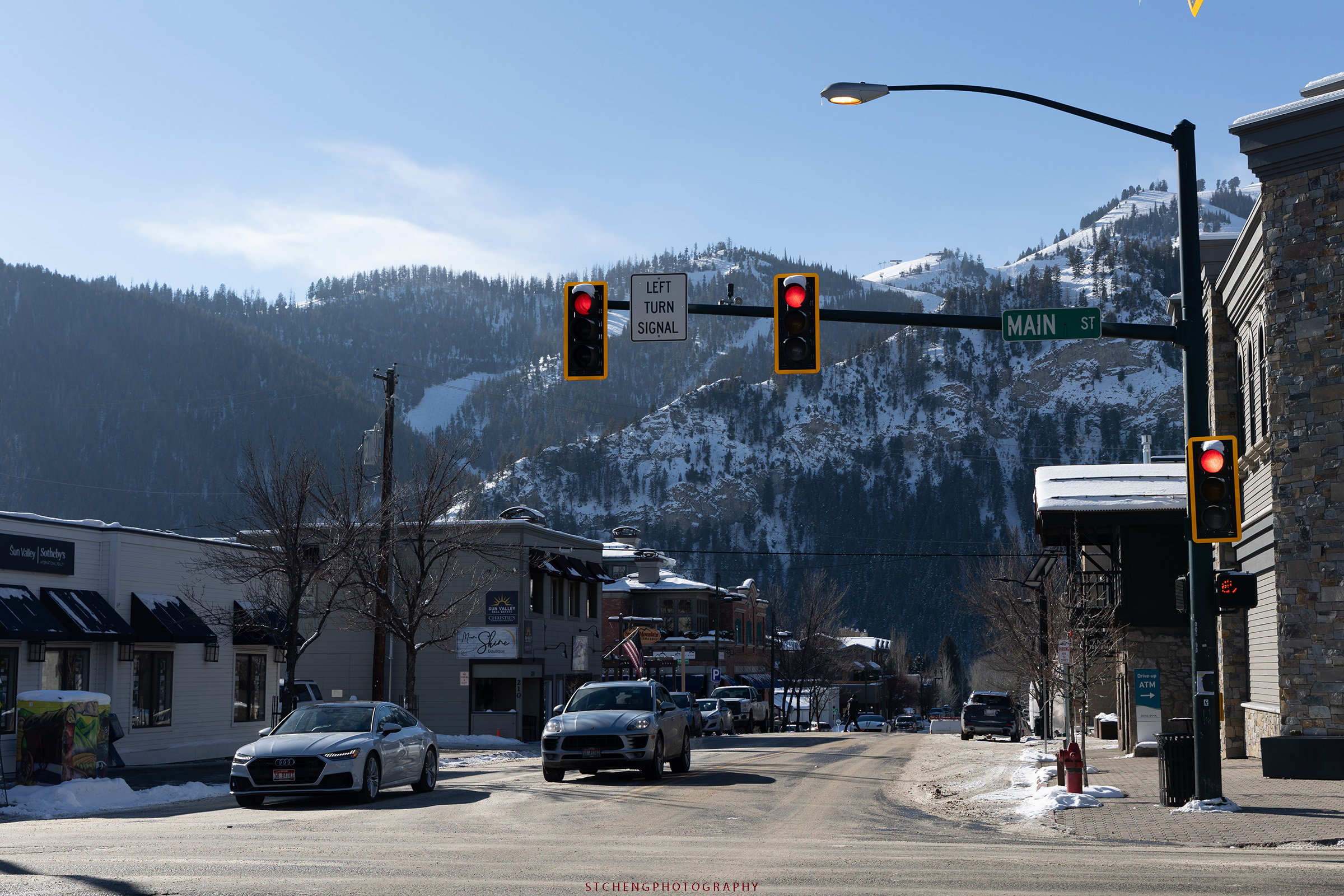
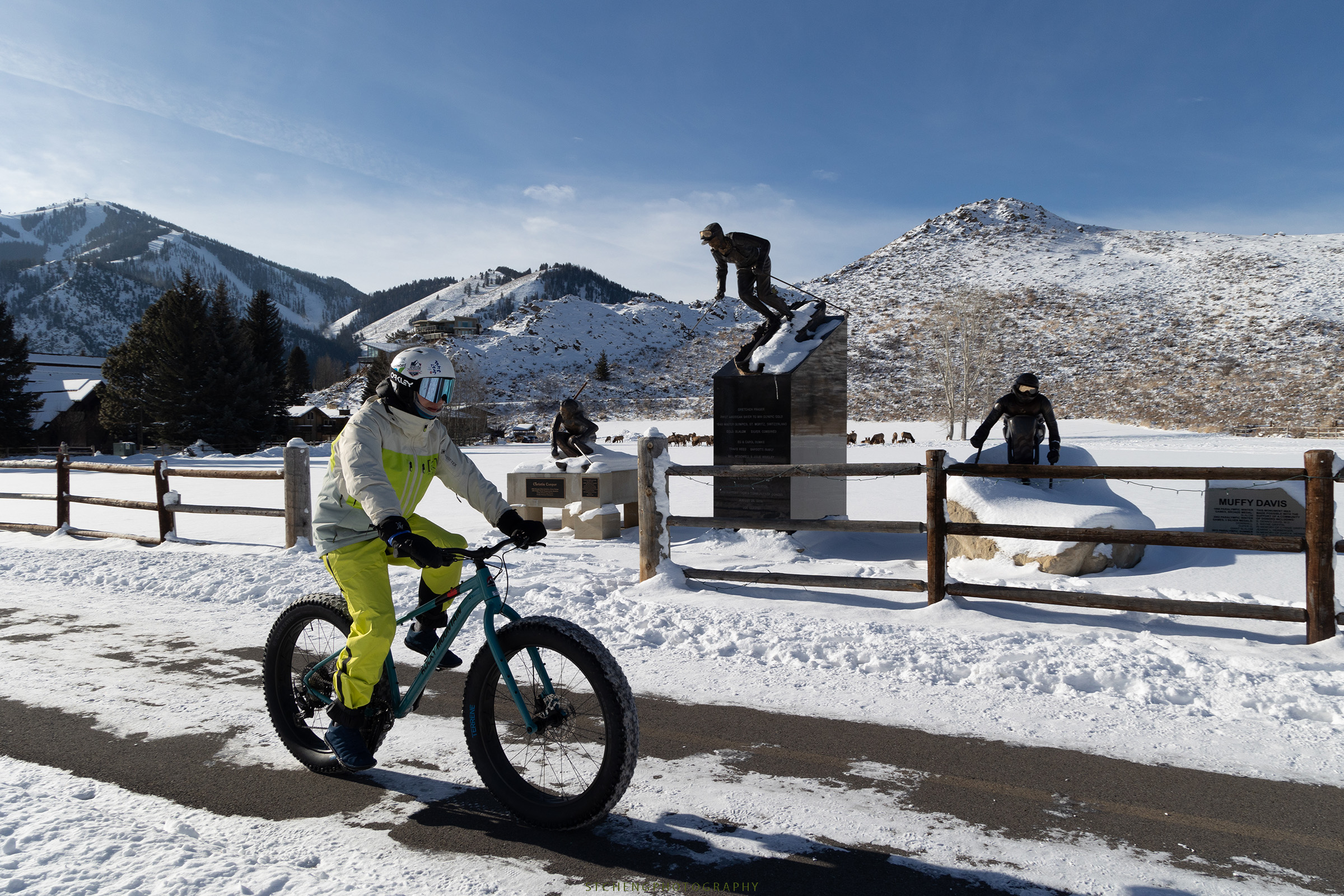
I began to feel familiar with this place and accustomed to the area where I had stayed for three days.
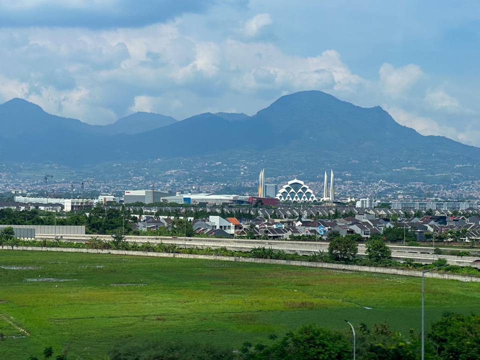
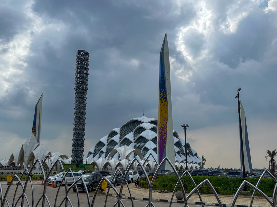
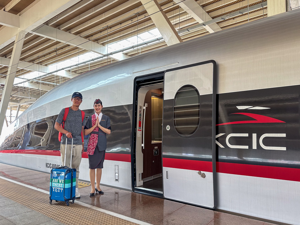
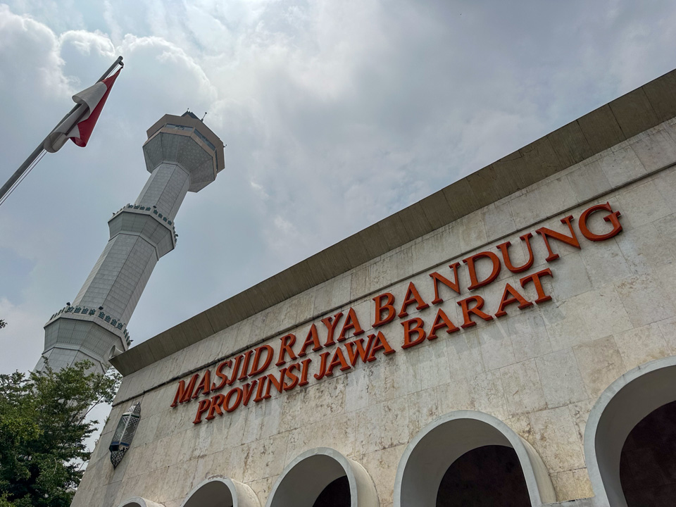
From Jakarta Station, located in the heart of the capital city, the high-speed train took less than an hour to reach Bandung. A stark contrast to Jakarta’s skyscrapers - the only remarkable building visible from afar was the Al Jabbar Grand Mosque, distinguishable by its unique shape and four surrounding 99-meter-tall minarets.
The high-speed rail - Whoosh, a joint venture between Indonesia and China, felt familiar, as I had recently taken a similar train from Shanghai to Hangzhou in China. Having been operational for only two months, the excitement was palpable; people eagerly took photos with the train and the conductor ladies.
According to the news, I am happy to have contributed two visits to the first million passengers in the initial two months of its commercial operation.
Leaving central Jakarta, the train’s speed quickly increased, eventually reaching up to 350km/h, as repeatedly indicated on the screen hanging in front of the carriage. The passing views were mostly rural - farmlands and small houses. The train traversed multiple tunnels, fitting since Bandung is a city encircled by mountains, or specifically, volcanic terrain.
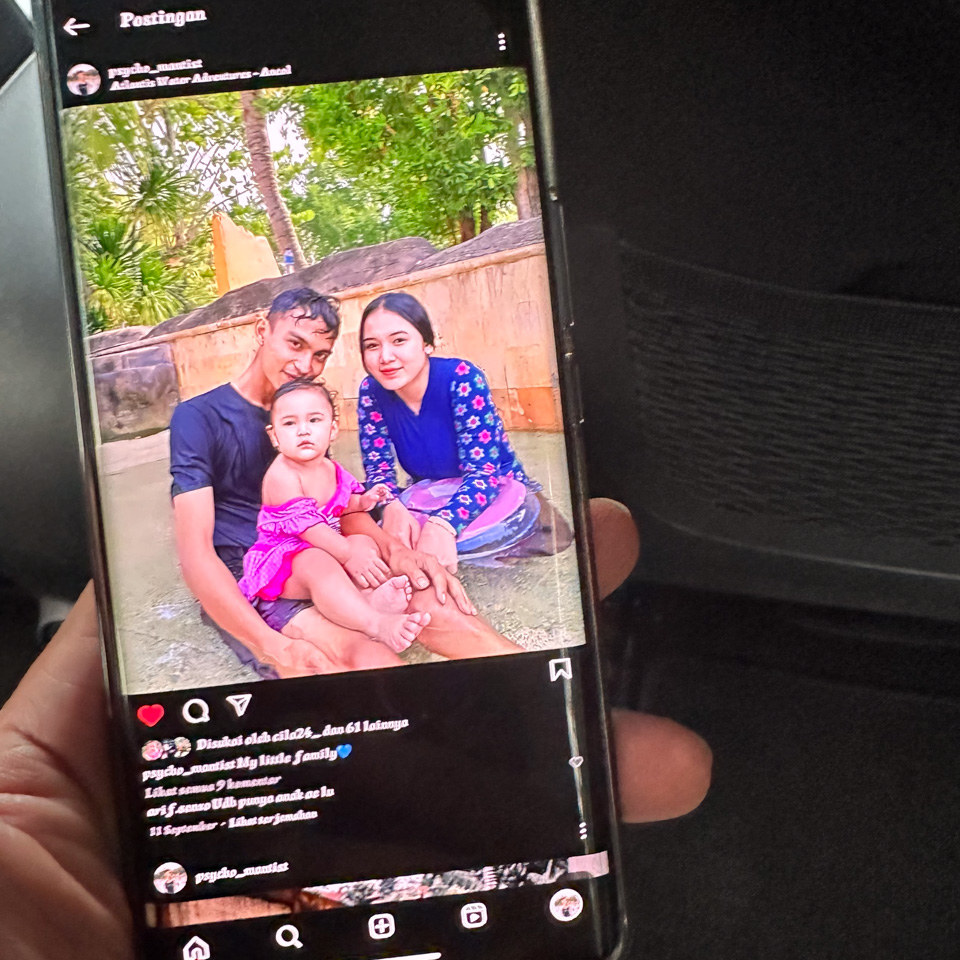
1 - a photo shown by the taxi driver of his lovely family and newborn girl.
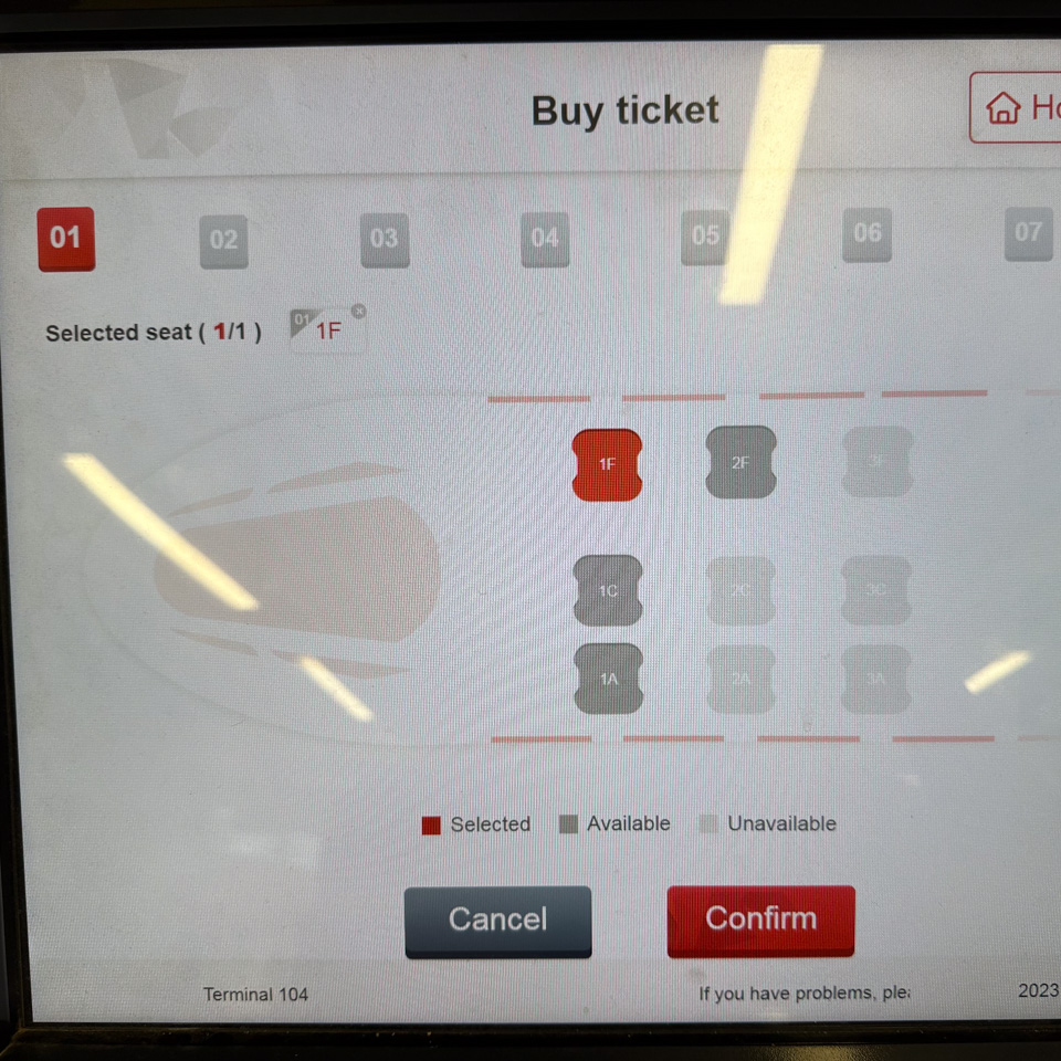
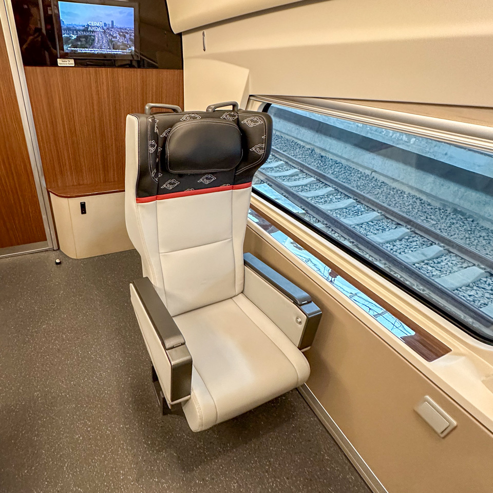
2 - the business class seat map!
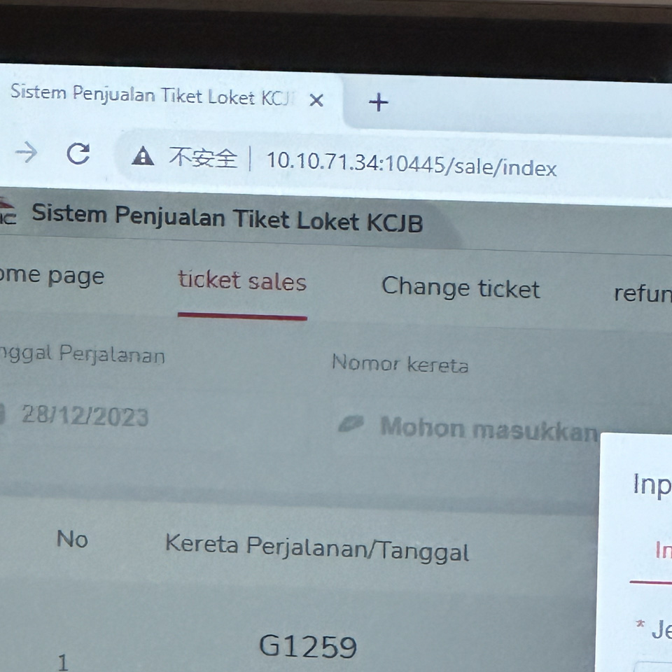
3 - “不安全” secretly reveals the collaboration between Indonesia and China
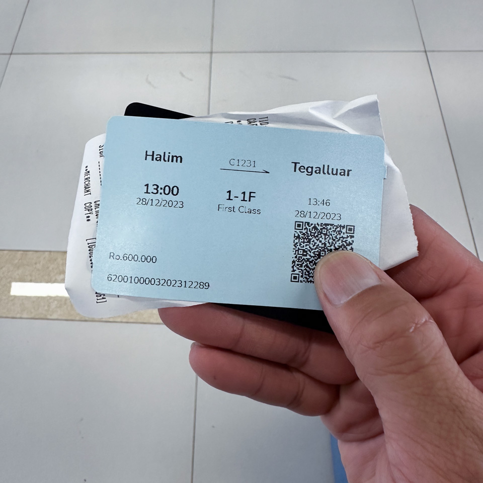
4 - the exact same color, size, and format of the train ticket as those in China
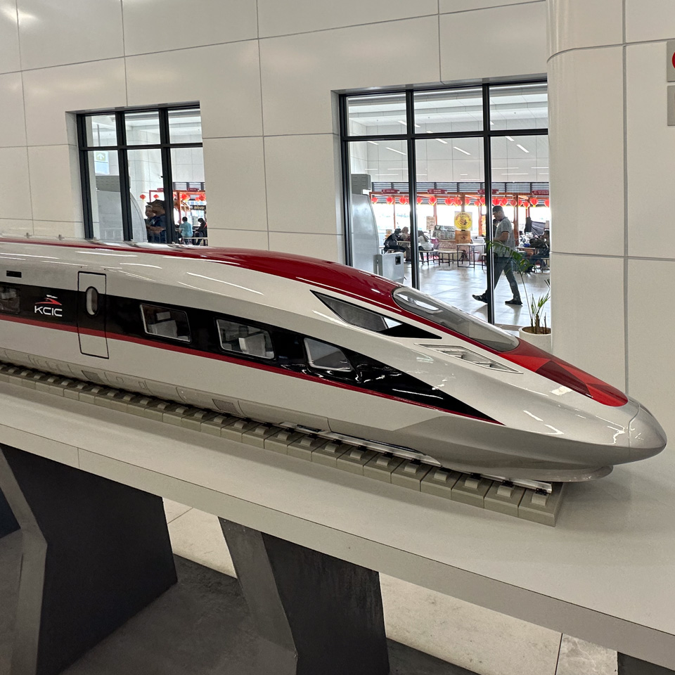
5 - a model of the Fuxing
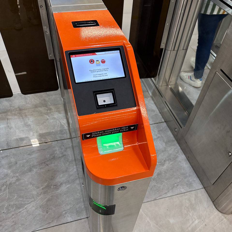
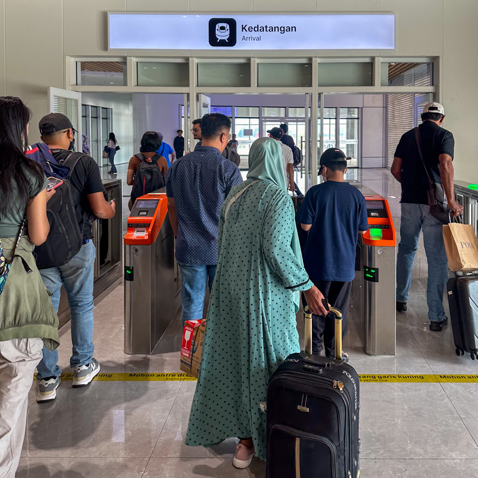
6 - the ticket gate, also the same as those in China
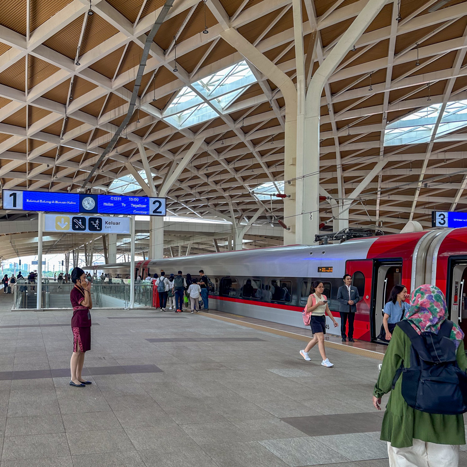
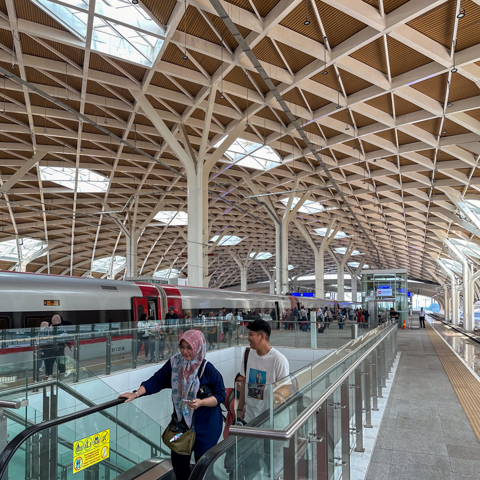
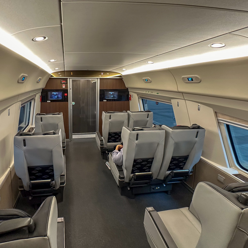
7 8 - the grand station and the Whoosh train
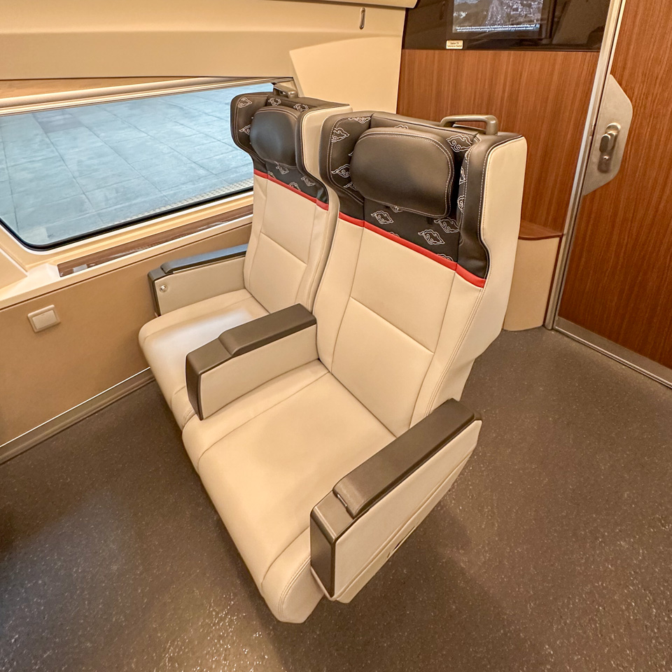
9 10 11 - the business class seats
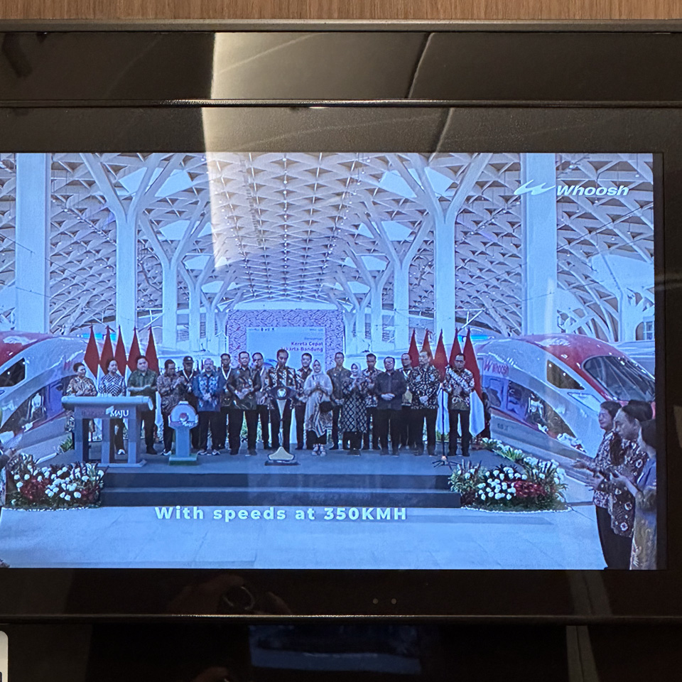
12 - the screen continuously playing promotional videos
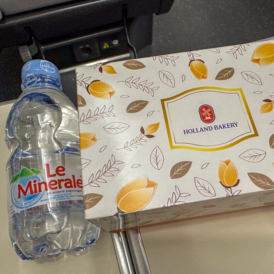
13 - a complimentary food box provided for business class and first class passengers, containing a small bread and a box of juice
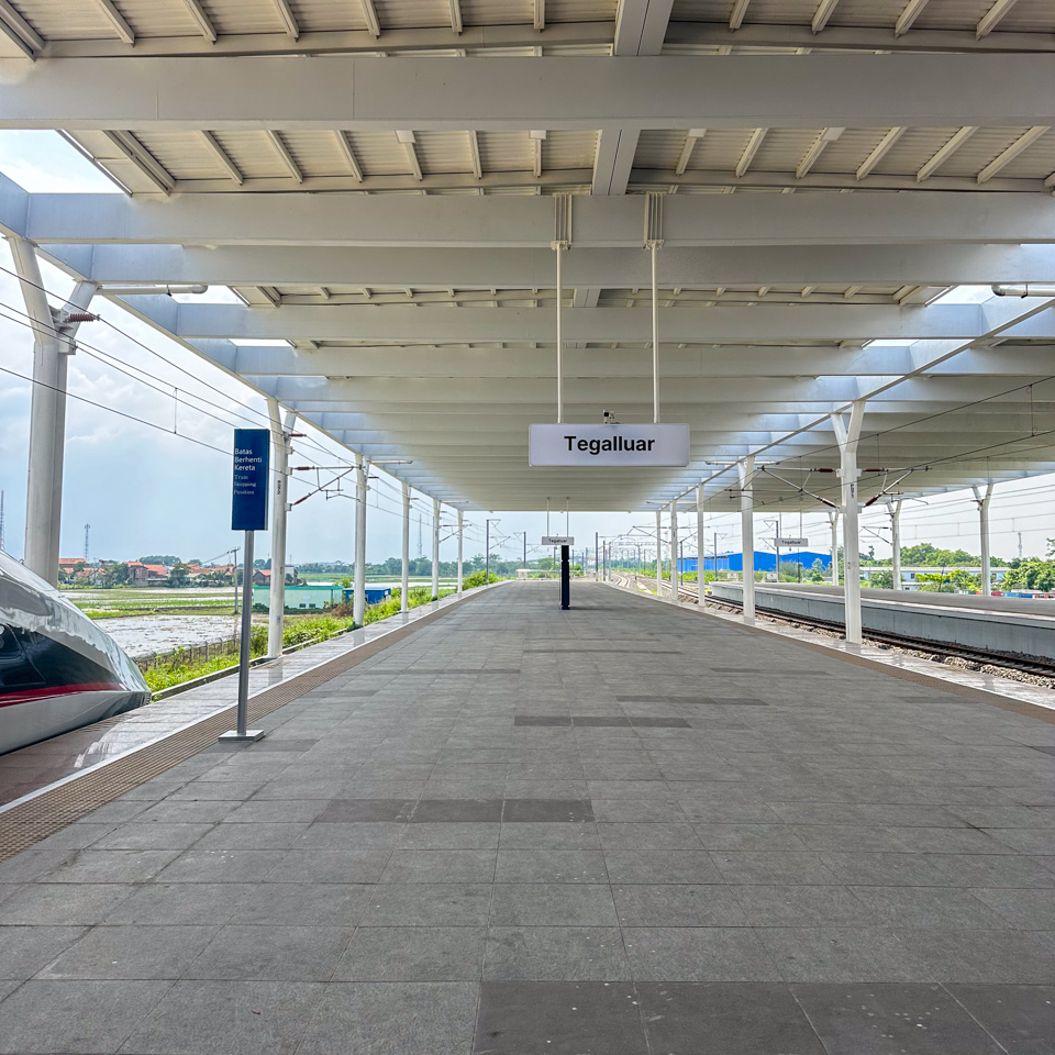
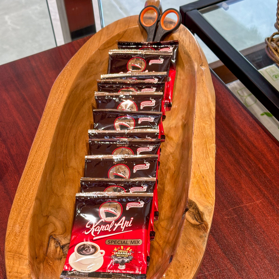
14 15 16 - Tegalluar station and the free instant coffee provided in the waiting room
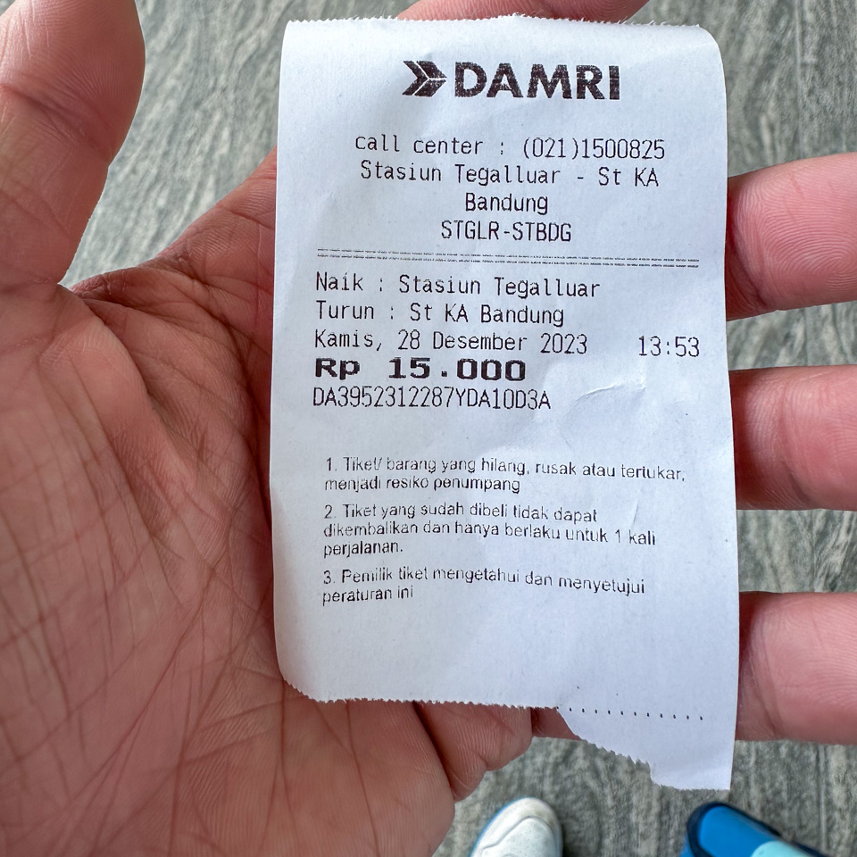
The Tegalluar Station was located almost an hour bus ride from the hotel where I stayed, which was near Braga Street. Obviously, I spent more time on this shuttle bus than on the high-speed train. Both the Tegalluar station and its location reminded me of those in China – a modern, grand building situated in a suburban area, some distance from the city center. Upon arrival, I took a shuttle bus, costing Rp 15,000, to reach the city center.
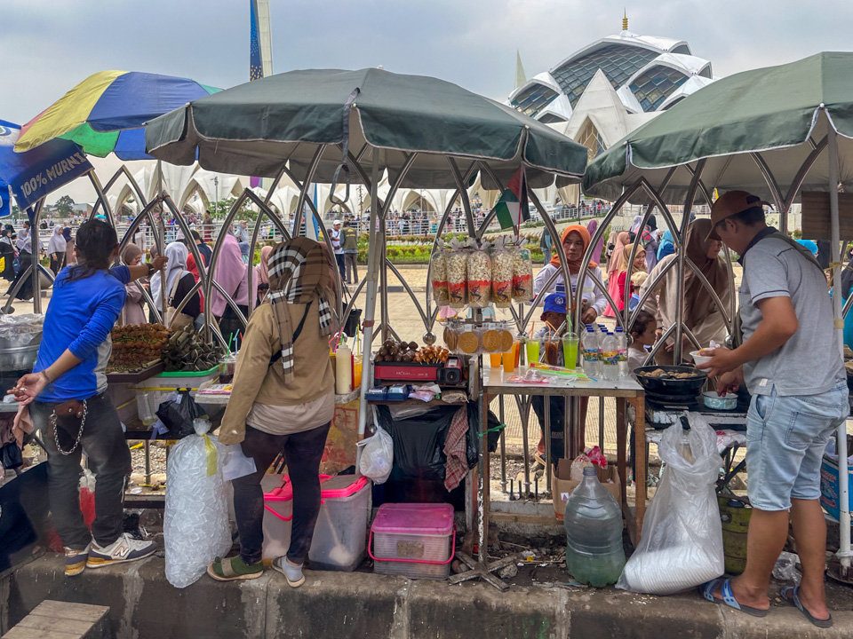
The bus route was quite surprising to me. It first passed through some newly developed areas with wide, well-built roads and nearly completed shopping malls. Unexpectedly, it then stopped at the gate of the grand mosque, fortuitously saving me a separate trip! The road adjacent to the temple was so narrow it could barely accommodate two cars side by side. Various pop-up stalls lined the road outside the temple’s fence, offering a range of items to the worshippers inside. The food was mostly fried, including sausages and meat, and the drinks were primarily colored ice water. I eventually realized that the mosque was surrounded by water – a reservoir, making it a “floating mosque”.
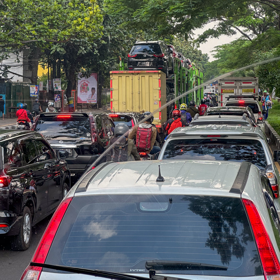
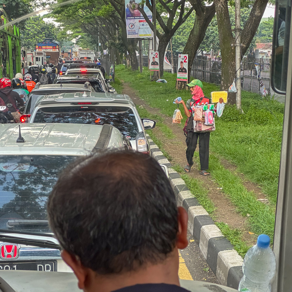
After these two suburban stops, the bus finally entered the city and plunged into the traffic jams. The city’s buildings were mostly less than three stories, with occasional taller ones. The roads were congested with cars and buses, and filling the gaps between these vehicles were hundreds of motorcycles.
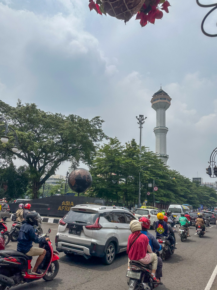
With no prior knowledge of the Indonesian language, I vaguely guessed from the driver’s announcement that the bus would stop at the Asian-African Conference Museum, the sole fact I knew about Bandung before arriving. This conference was so renowned that I had learned about it in middle school.
1 - the receipt of DAMRI shuttle bus
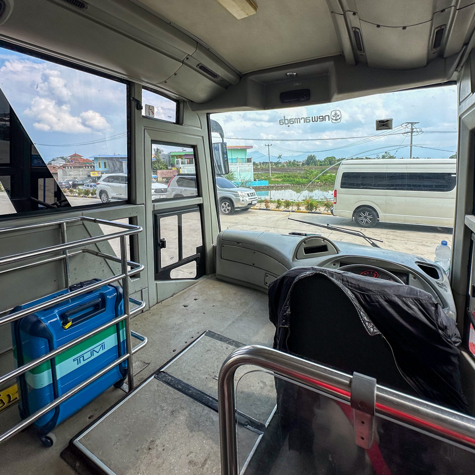
2 - the front of the bus - not sure why it was empty
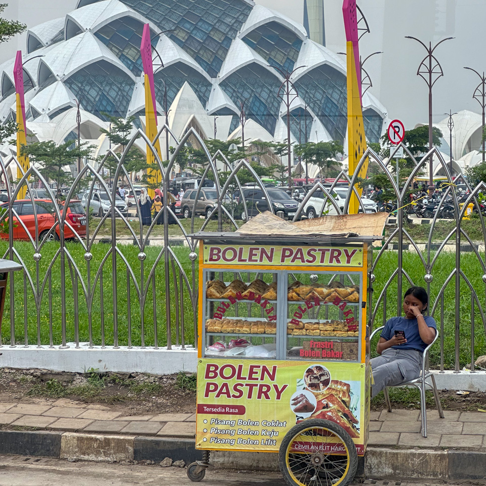
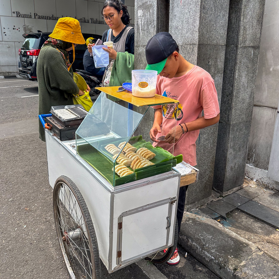
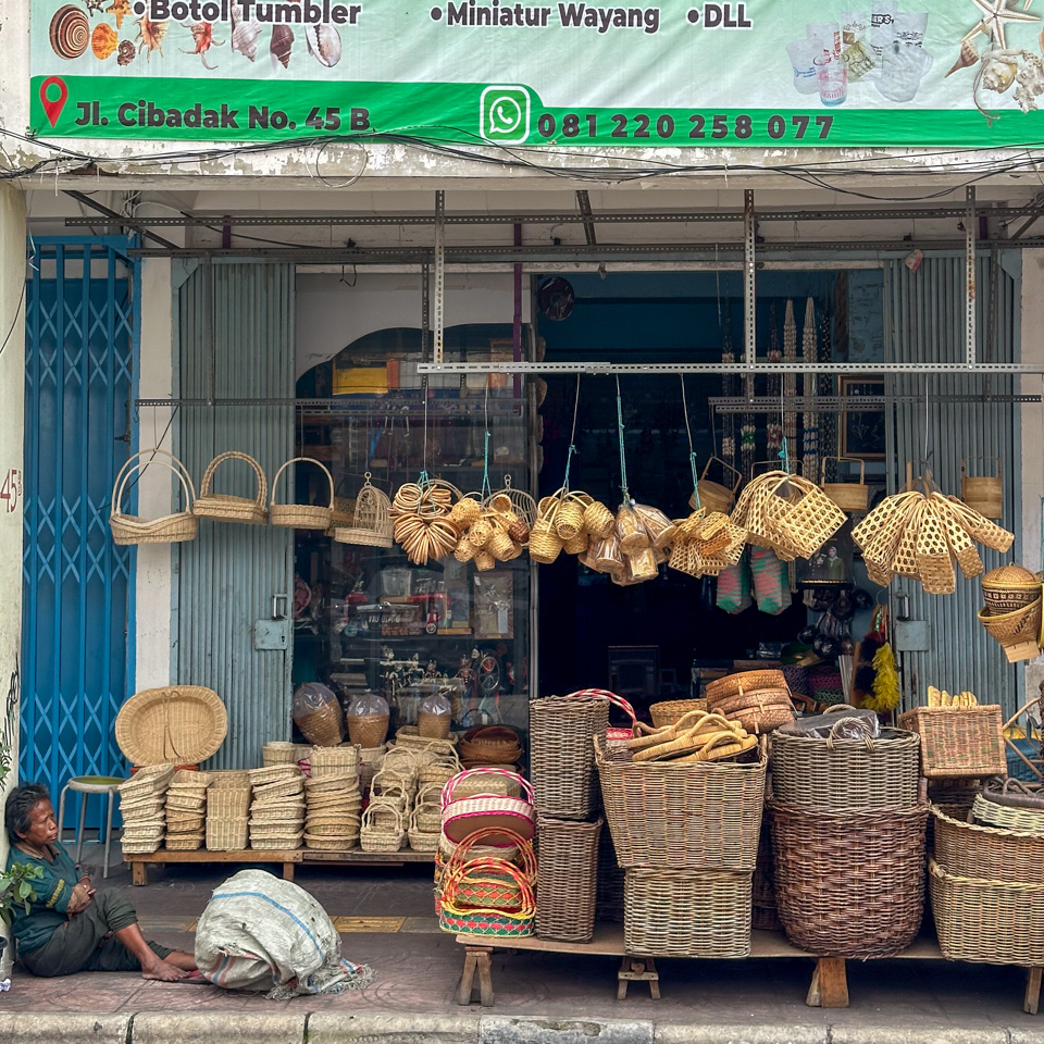
3 - the pop-up stall selling pastry
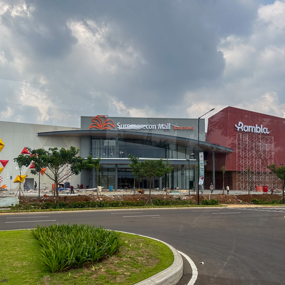
4 - a newly built shopping mall
5 6 - traffic jam and street vendors
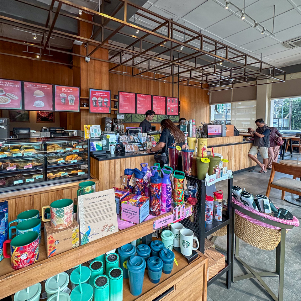
7 - the Starbucks next to the Asian-African Conference Museum
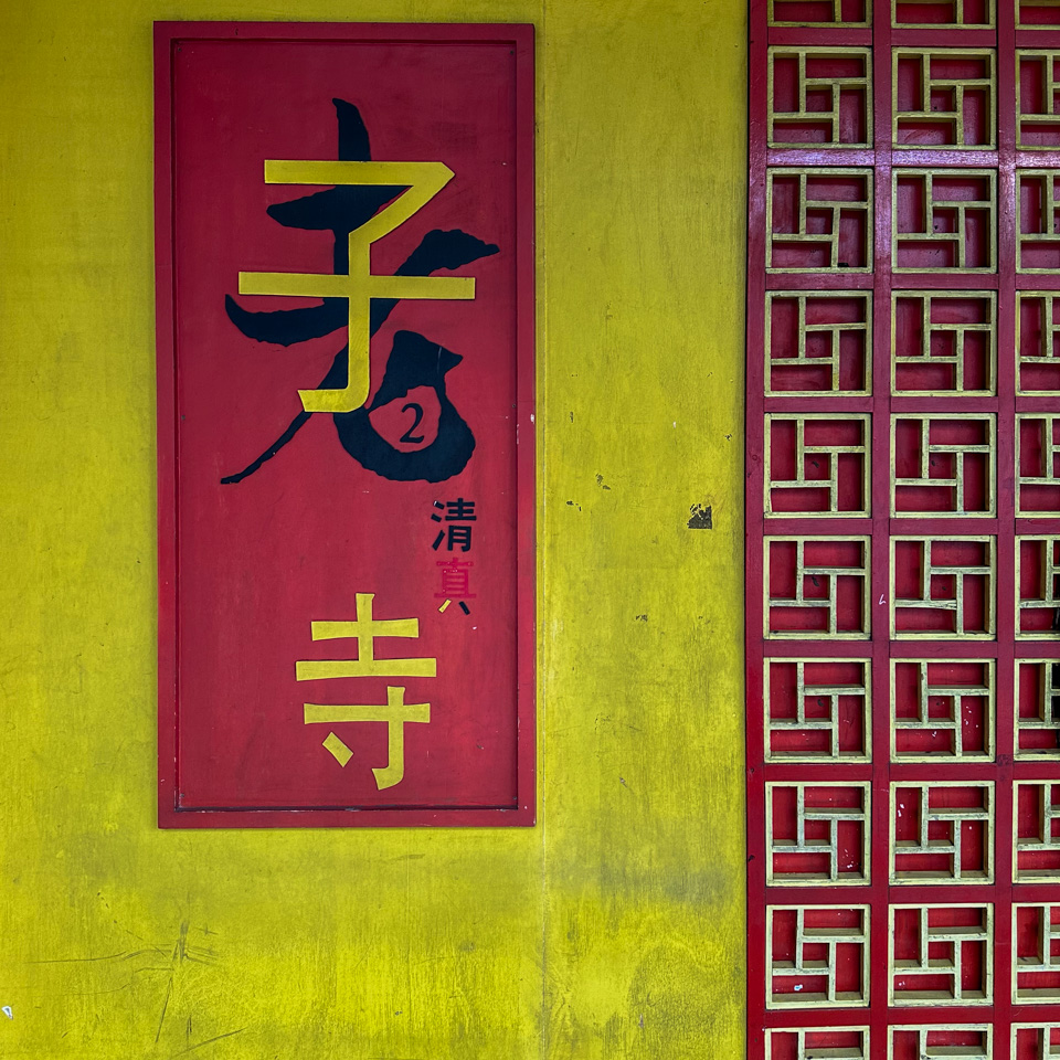
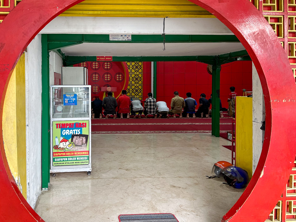
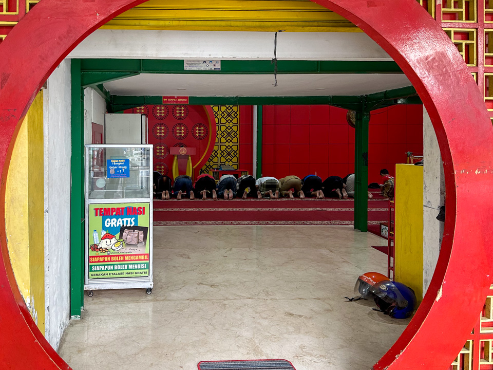
8 - A Laozi mosque - harmonious co-existence of Islam, Chinese cultures
Stepping out of the bus, I immediately found myself amidst a sea of vehicles; previously, I had been within the bus’s confines, but now I was in the thick of it all. I needed to navigate across roads with scarcely any traffic lights, my backpack and luggage in tow. Another surprise: despite the dense population and traffic, there were few traffic lights. I mustered my courage to weave through the busy traffic like a nimble fish.
Spotting a Starbucks, I quickly made my way inside – it felt like finding a save point in an RPG game. The familiarity, reminiscent of my Seattle roots, instantly soothed me after the daunting road crossing. I checked the map and planned my route to the hotel, just like navigating in an RPG game where you’re in an unknown area surrounded by the fog of war.
Of course, the sidewalk wasn’t designed for rolling luggage. I frequently had to lift it over bumps and sewage covers. But later after three days of navigating these streets, I became completely accustomed to this kind of terrain. Though at that moment, I hadn’t yet realized that Bandung was a city deeply infused with coffee culture.
1 - the view outside the high-speed train window
2 3 - the grand mosque and the vendors
4 5 - the people praying inside this Laozi mosque
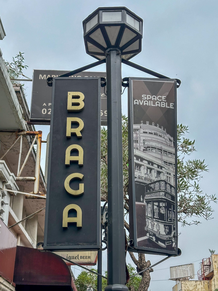
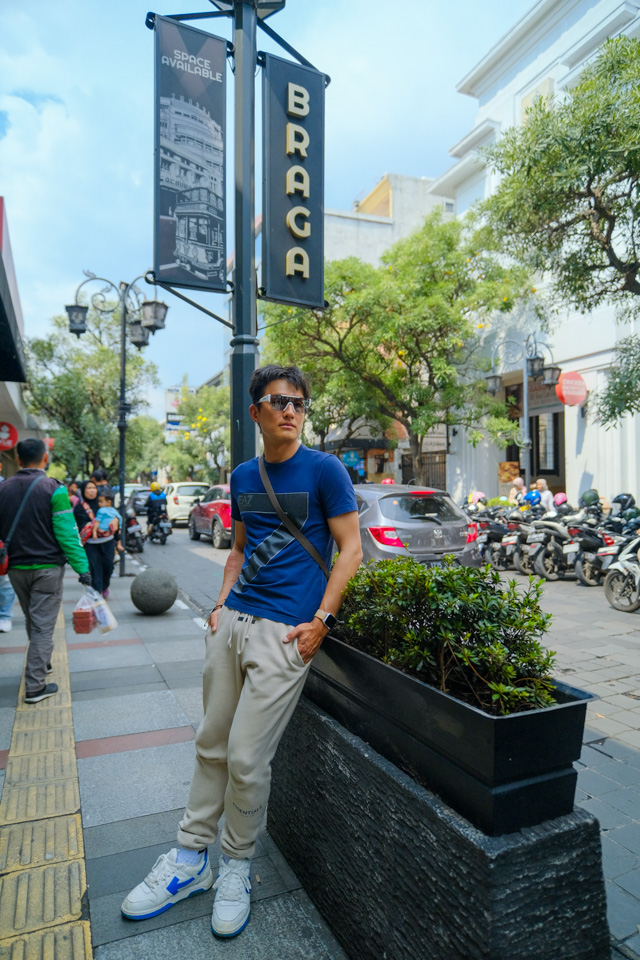
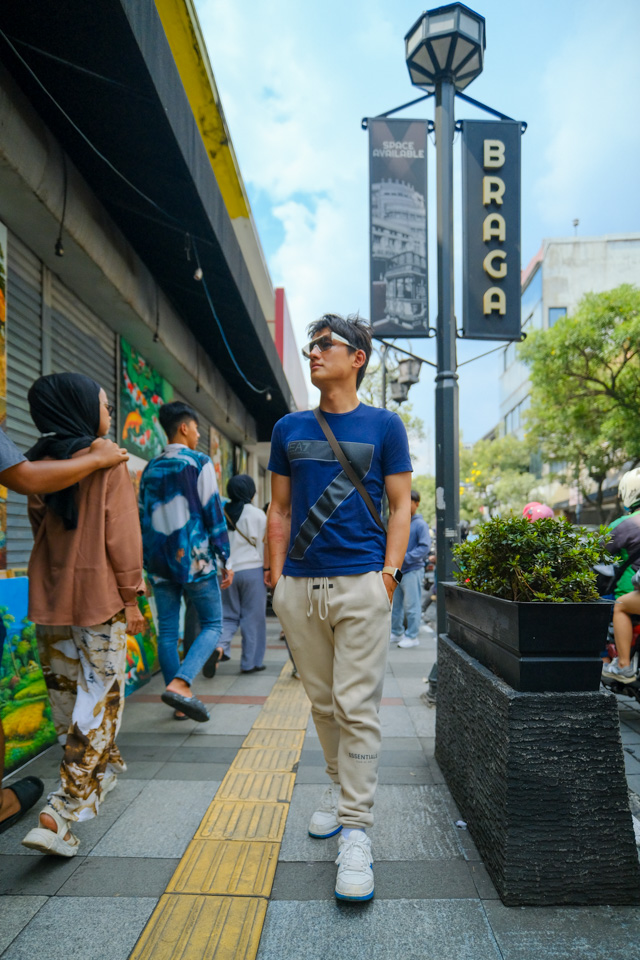
I don’t have many remarks about the hotel itself, but its location was ideal - situated right next to Braga Street, which allowed me to easily explore this area multiple times. Over these days, I found myself growing fond of this neighborhood.
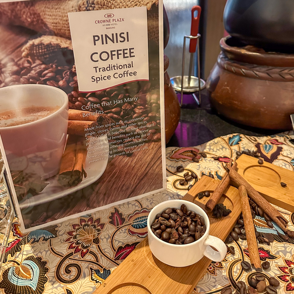
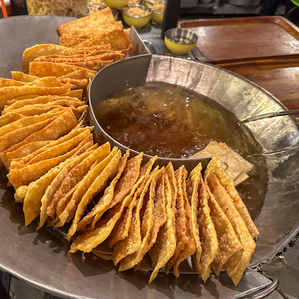
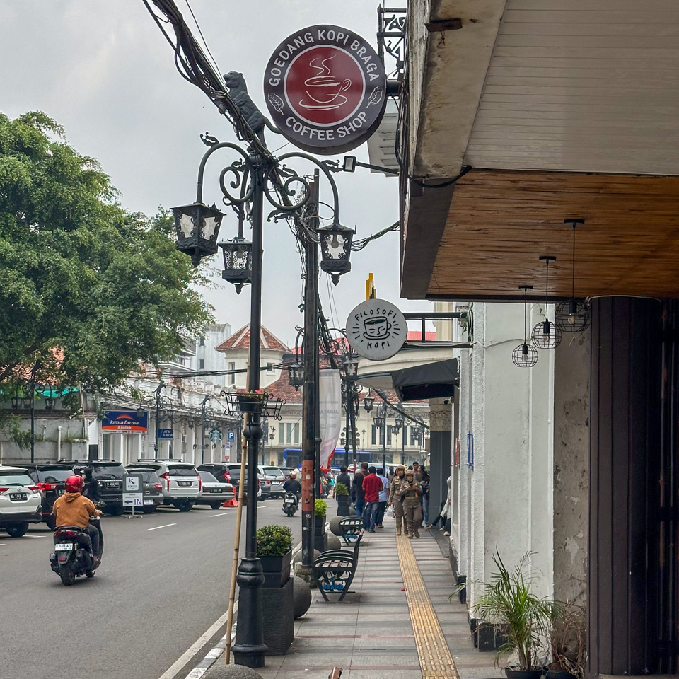
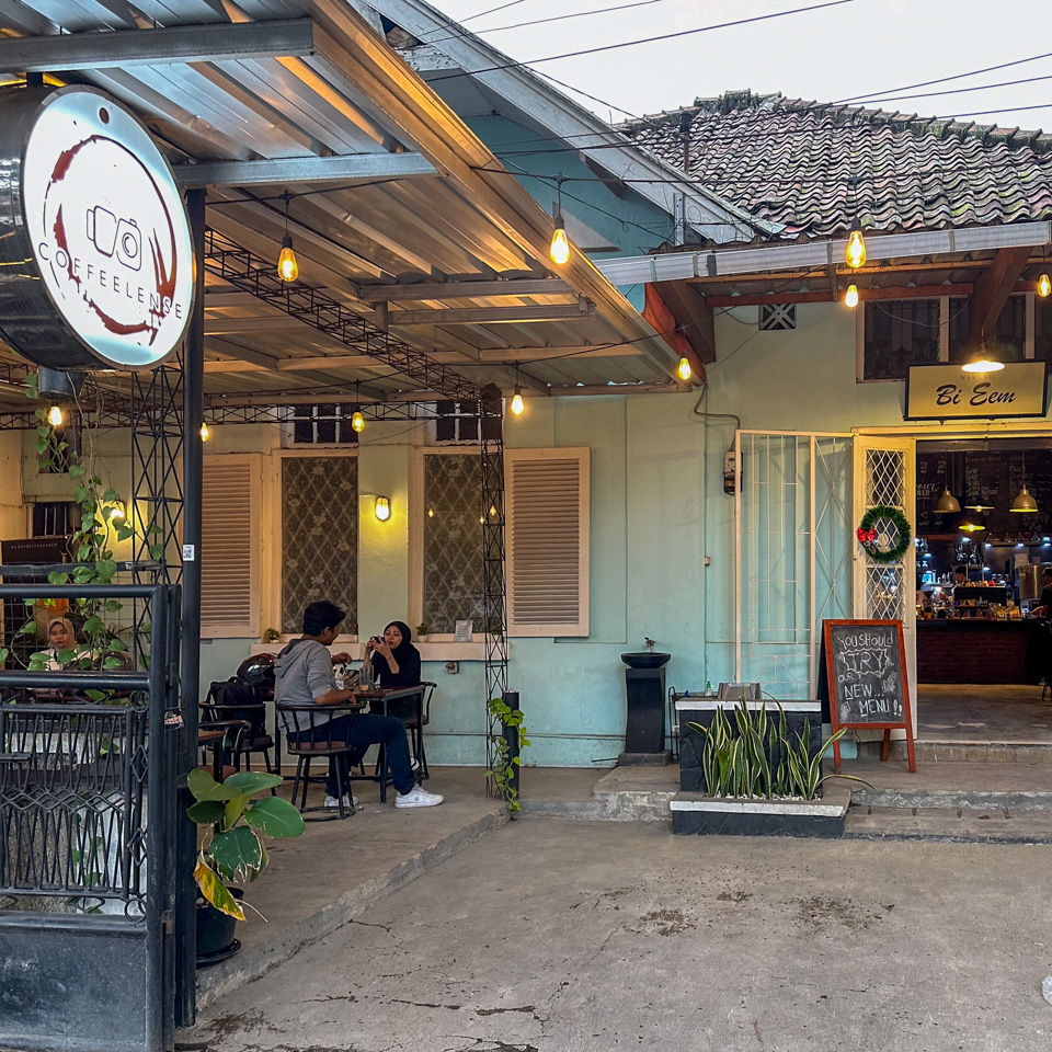
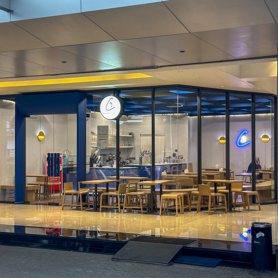
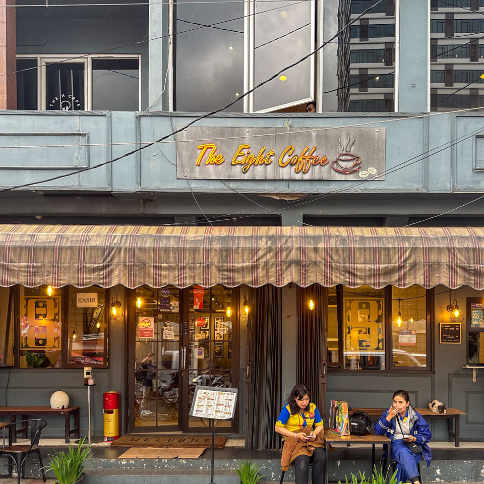
Exploring the city on foot, or making a ‘city-walk’, was undoubtedly the best way to experience Bandung. The sheer density of coffee shops here left me astounded. On bustling streets like Braga, coffee shops were nestled side by side. Even in quieter neighborhoods, it was common to spot at least two coffee shops within view while walking.
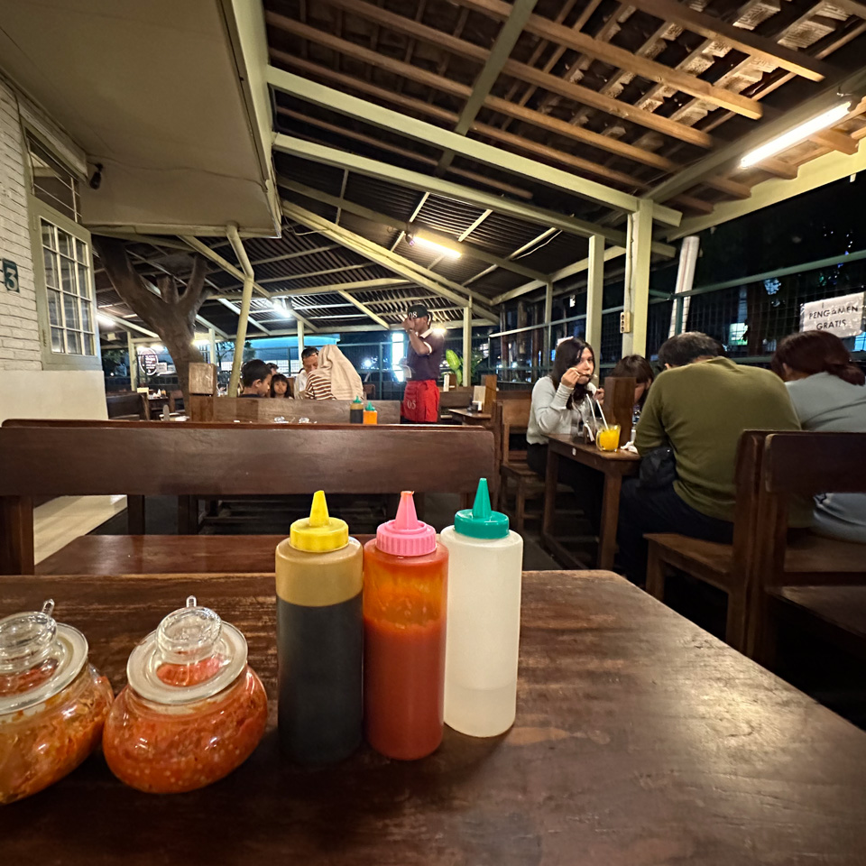
In just three days, I visited over ten coffee shops and consumed far more caffeine than necessary. Competition among these establishments was intense. Locals didn’t just view these coffee shops as quick stops; they were also social hubs and dining spots. Each shop offered a variety of food options, from quick bites to lunch boxes and local dishes.
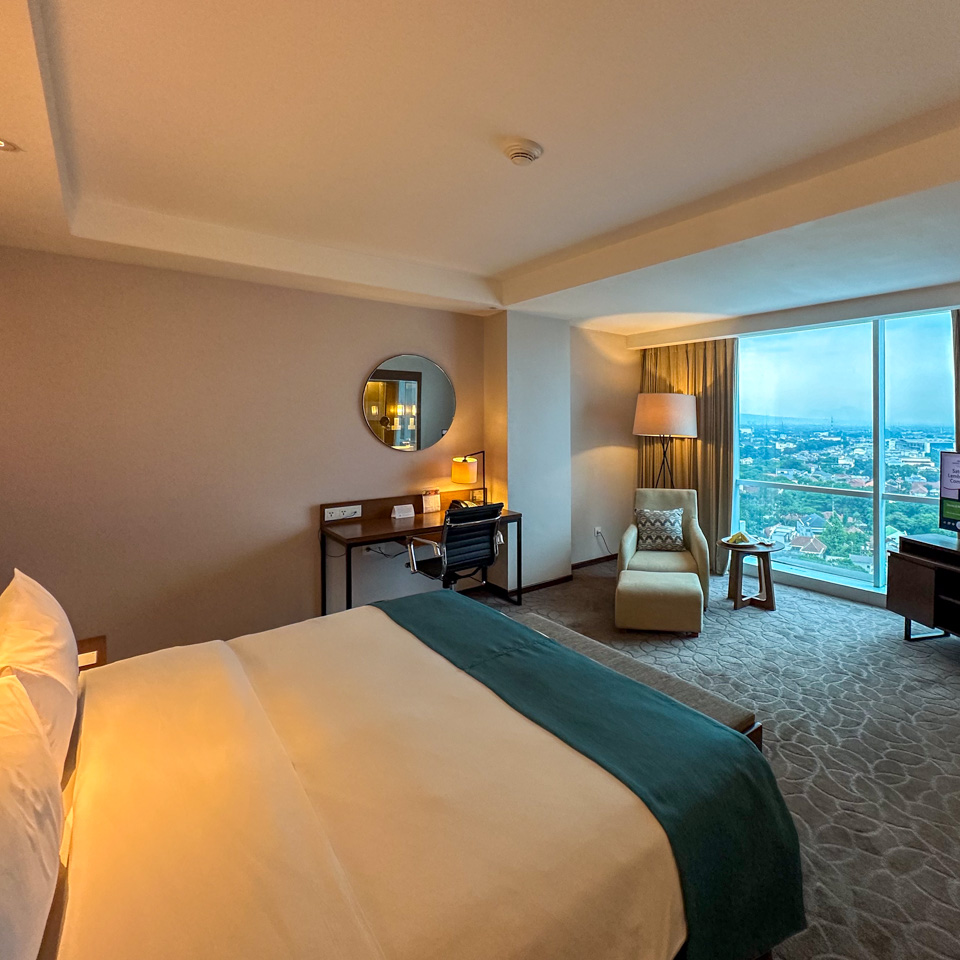
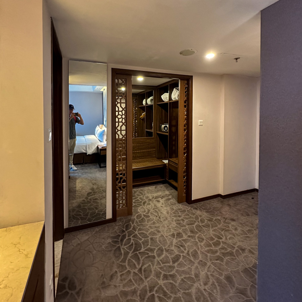
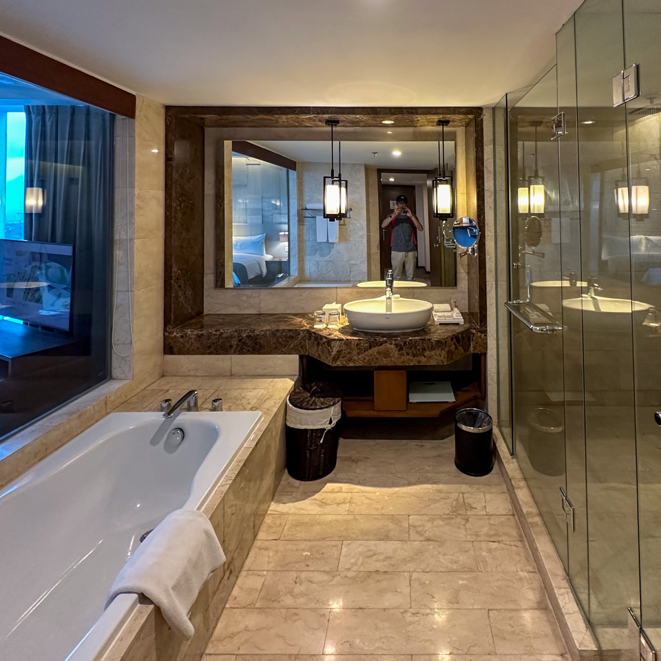
1 2 3 4 - a decent room
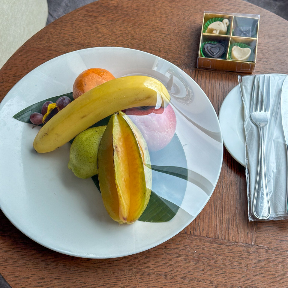
5 6 7 - and the breakfast with many local choices
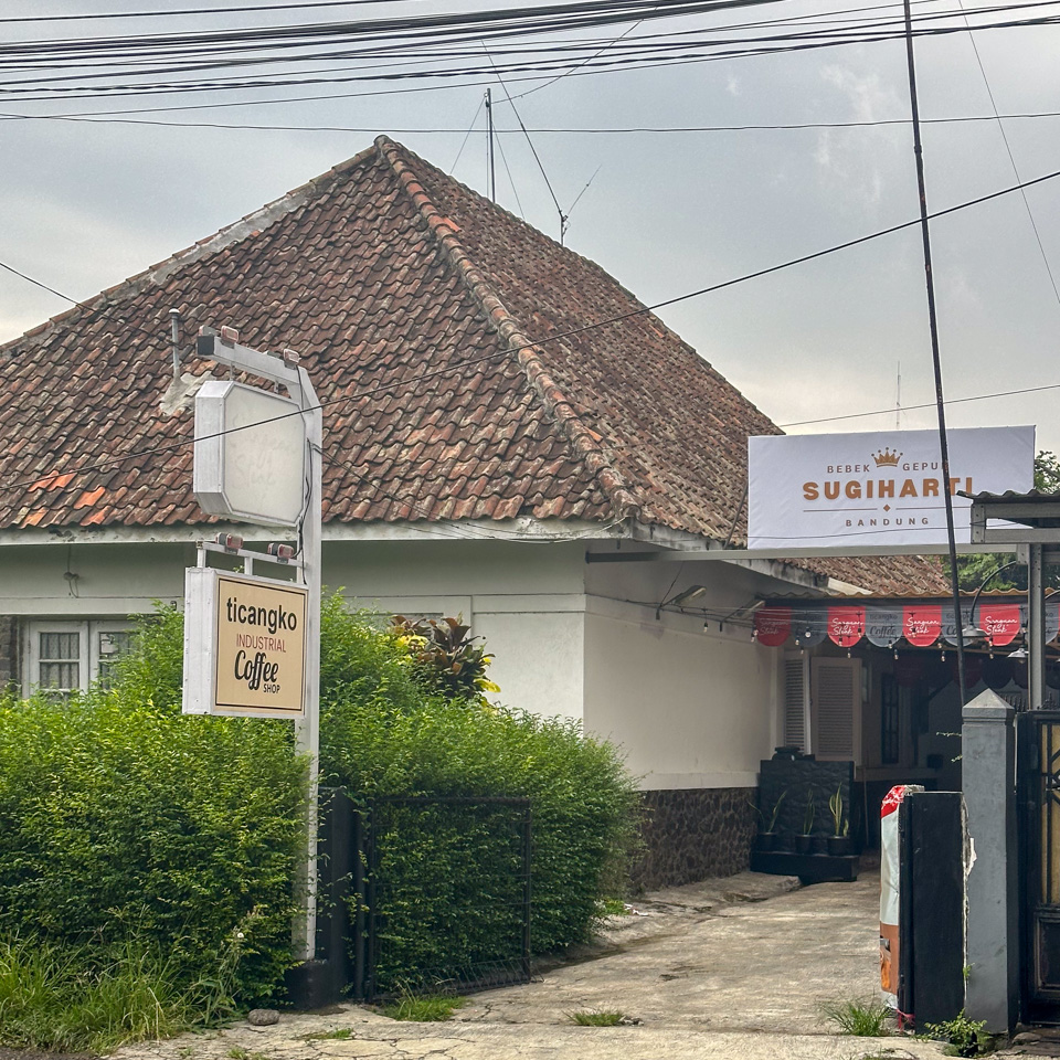
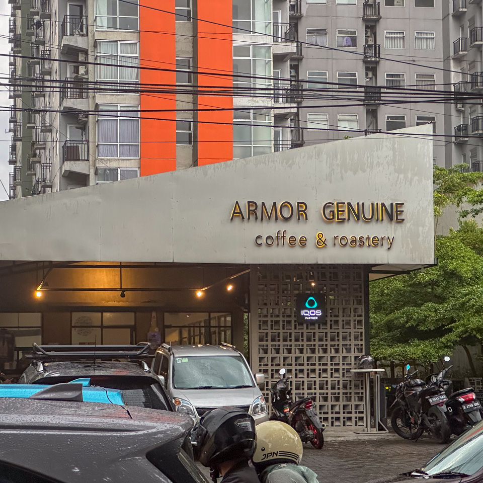
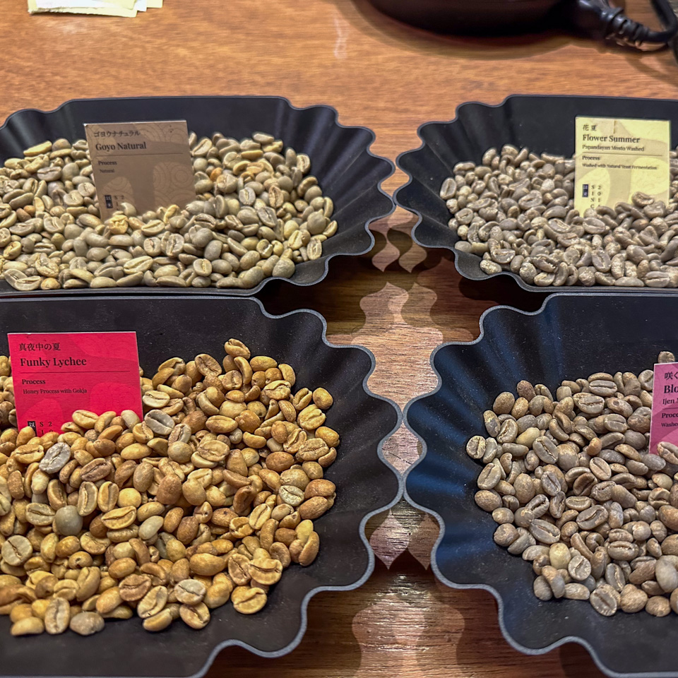
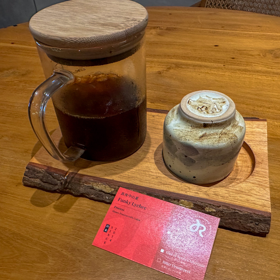
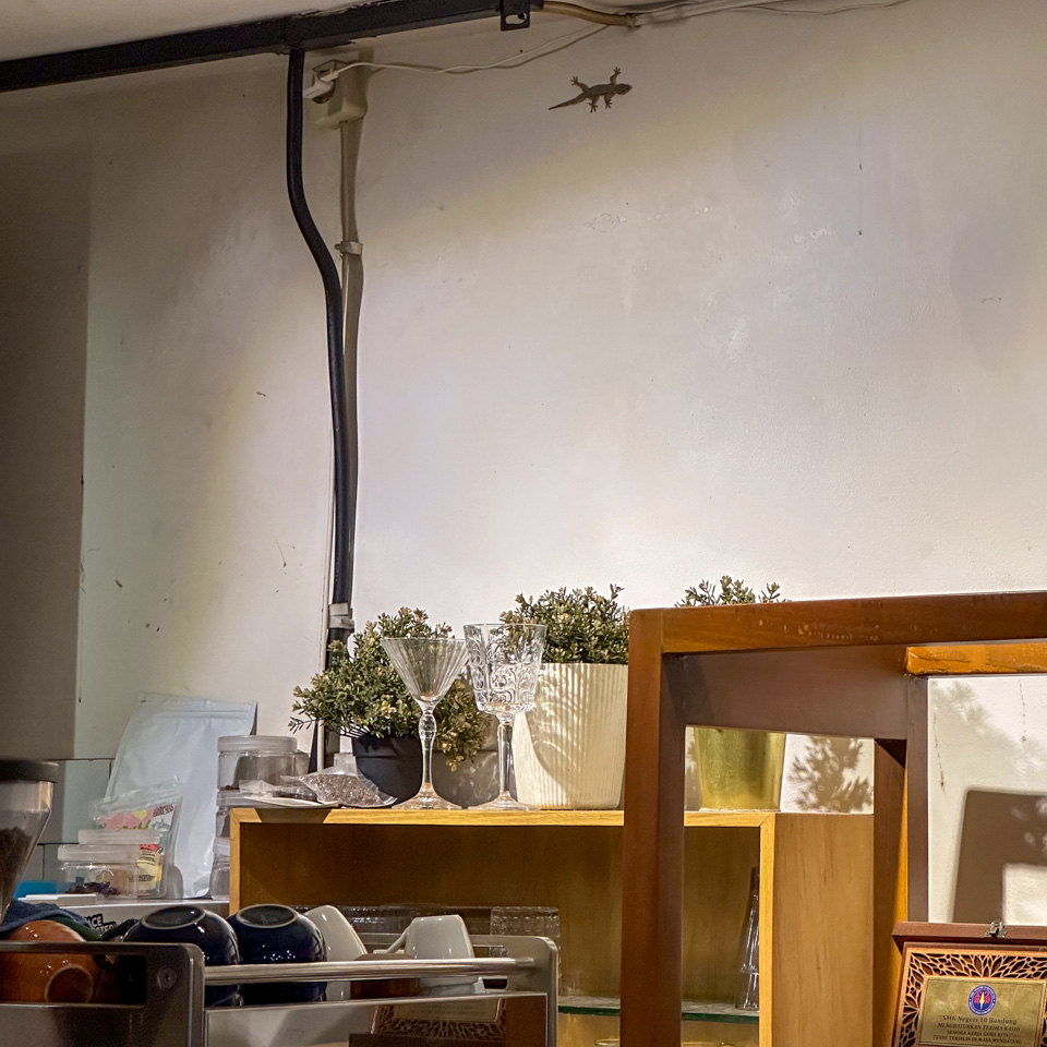
As a major coffee bean producer, Indonesia had evident influence, with all coffee shops using locally sourced beans. Many even roasted their own green beans on-site. This made roasteries a common sight, offering both hot and iced manual brews. To attract younger people, the current trend seemed to be shifting towards more elaborate, crafted coffee drinks, adding unique ingredients like pandan leaves and pineapple slices. This reminded me of a similar trend in China, where coffee is mixed with an array of unconventional additions, such as baijiu and tofu.
Before the trip, I had just finished reading three books related to coffee and caffeine during my liveaboard journey – Coffee: The Epic of a Commodity; Caffeinated: How Our Daily Habit Helps, Hurts.; The Devil’s Cup: A History of the World According to Coffee.
Therefore, this exploration was a wonderful recapitulation of what I had absorbed a week earlier. In these days, I quietly calculated the servings of SCAD (Standard Caffeine Dose) I consumed, paid extra attention to my body’s reactions to caffeine, and tried to understand my tolerance, dependence, and potential withdrawal symptoms. I had to limit my daily caffeine intake; otherwise, according to the books, it could be detrimental - Caffeine Intoxication. I also revisited the historical aspects of coffee – how colonization introduced the coffee industry to Indonesia. Prior to this, locals predominantly used tea as a stimulant, much like the Chinese.
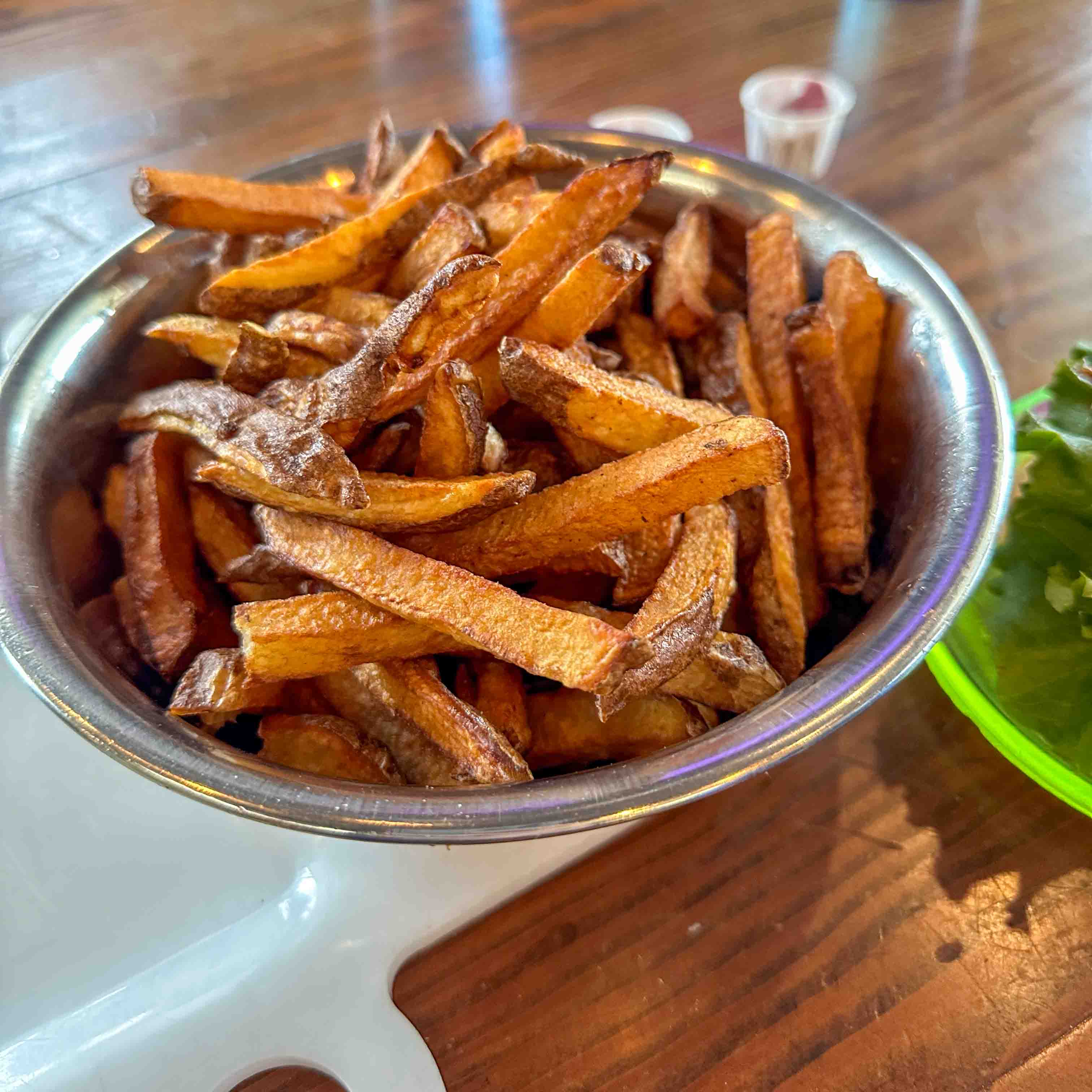
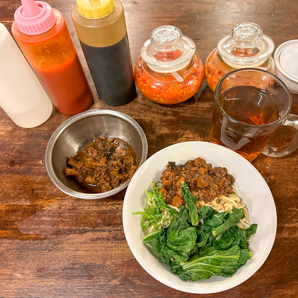
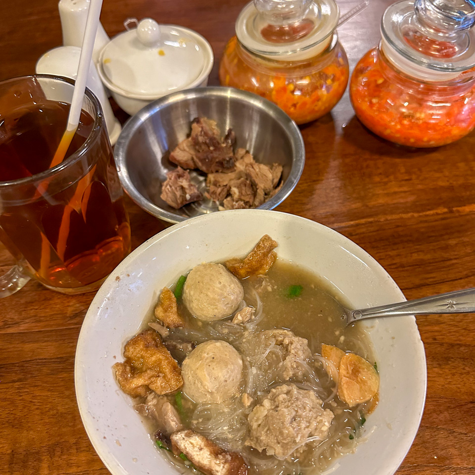
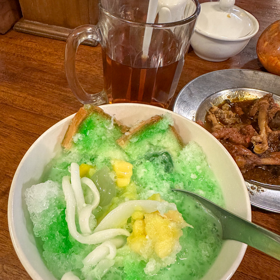
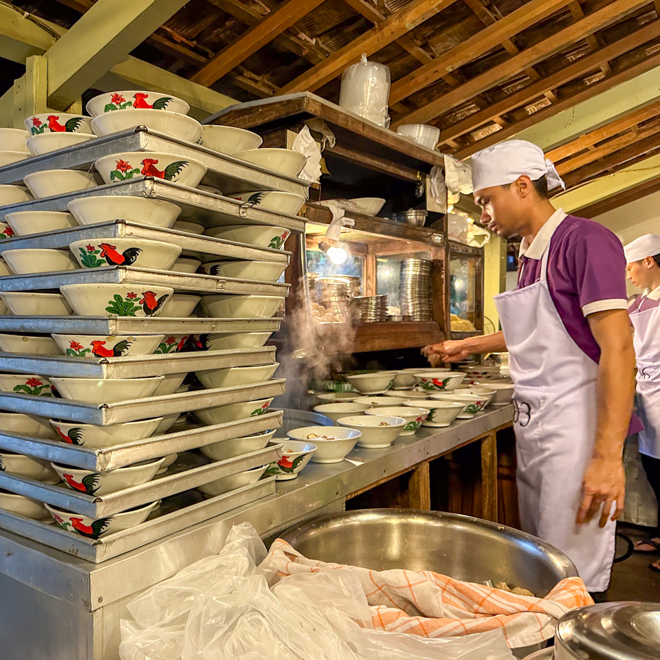
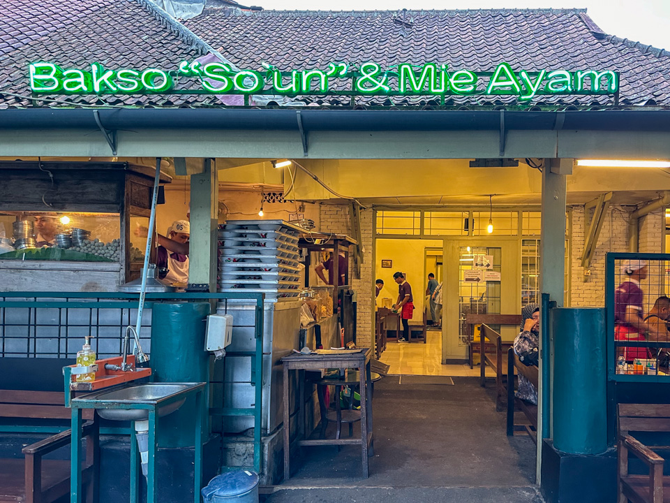
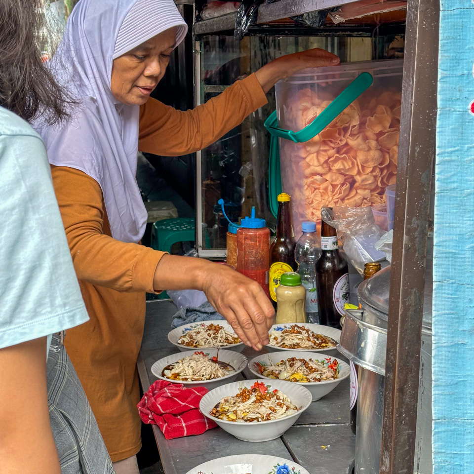
Besides coffee shops, I spent quite some time at Toko Tahalatas and Eiger – the former being a local fast-food brand and the latter an Indonesian outdoor sports brand. I also visited a restaurant - Bakso “so’un” dan Mie Ayam Lodaya - adjacent to my hotel twice. The meatball soup was incredibly tasty, and the shaved ice was just amazing! A full bowl of shaved ice, topped with syrup, sliced coconut meat, jackfruit, jellies, and a lot more, all for less than two dollars.
all dishes at Bakso “so’un” dan Mie Ayam Lodaya are highly recommended
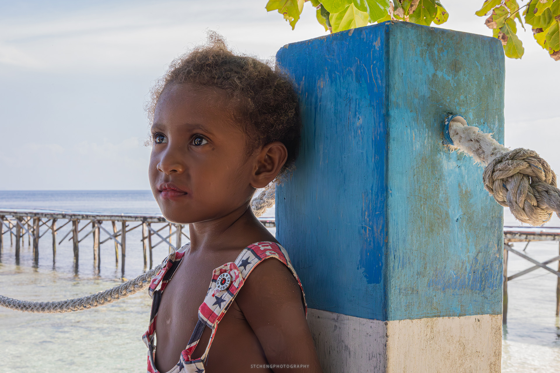
One of the best aspects of solo travel in foreign countries is meeting local people. My East Asian appearance and tourist-like attire made me stand out a bit in the crowd. Occasionally, I received stares or comments from locals, but as a seasoned traveler, I was quite accustomed to this.
My recently developed hobby of coffee-making allowed me to blend in as a coffee enthusiast – pretending to be skilled in latte art, identifying various roast levels, and discerning the subtle nuances of manually brewed flavors. This ‘disguise’ made it easy to break the ice with baristas, coffee shop owners, and restaurant staff, who hadn’t seen many foreign visitors since the pandemic.
The Indonesian people I met were incredibly nice and hospitable. I met Chris and his colleague in his coffee shop Kozi Coffee 6.2, where he kindly offered me a chance to practice my latte art. Regrettably, I didn’t make the most of this opportunity and ended up ruining the steamed milk and espresso. Chris, who has Chinese heritage, shared his Chinese name with me. He mentioned that he roasts his own beans, and I was eager to try them out.
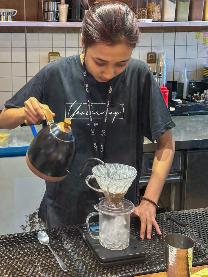
At another roastery, I enjoyed a delightful afternoon conversation with a barista who had recently joined the coffee shop three months prior and was learning more about manual brewing. He suggested I try two different iced brews, marking my first experience watching the entire process of making an iced manual brew coffee.
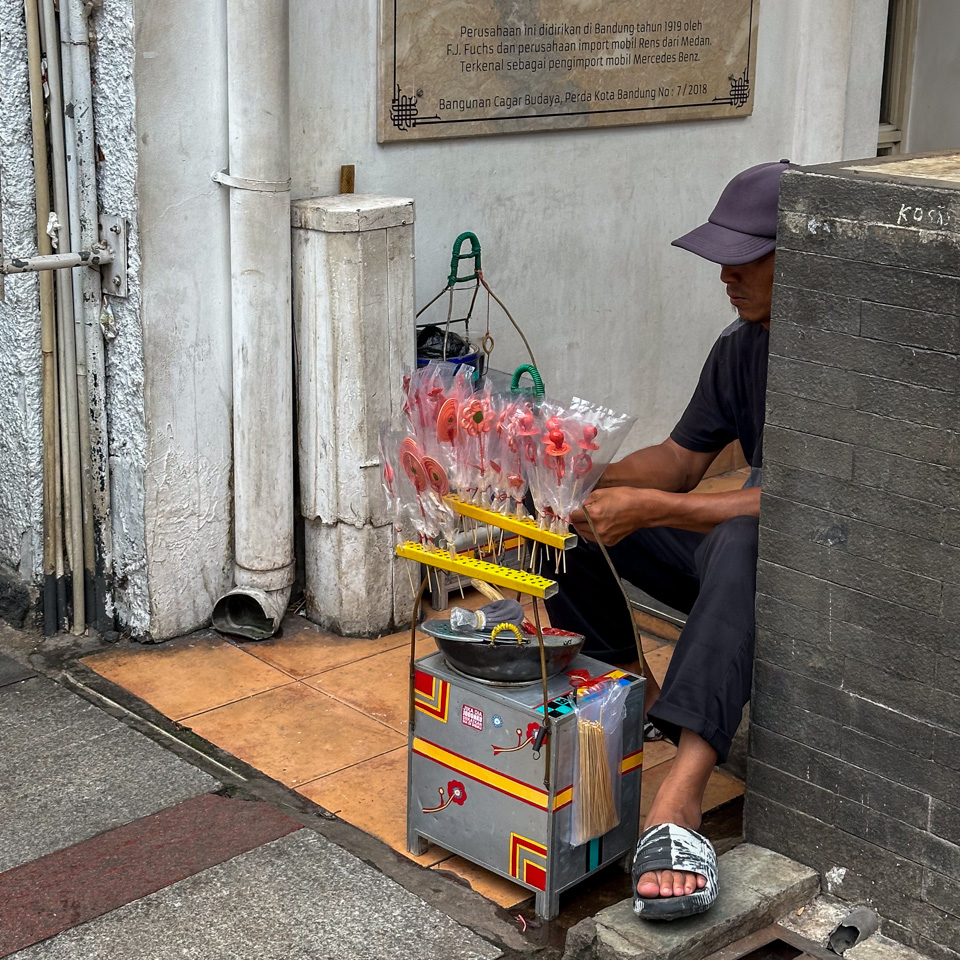
1-4 - street vendors
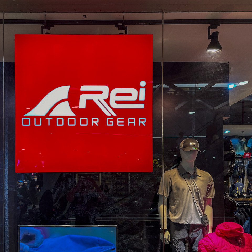
5 - surprisingly an Indonesian version of Rei here - also on outdoor gear
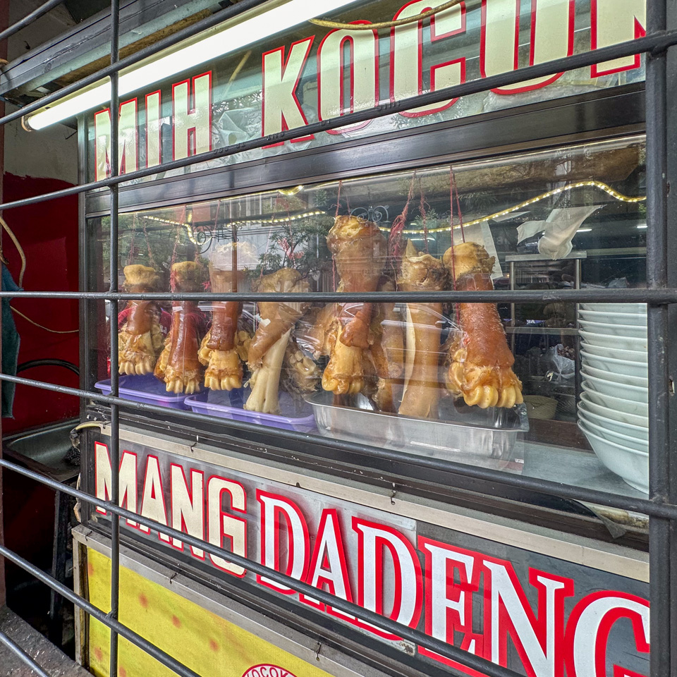
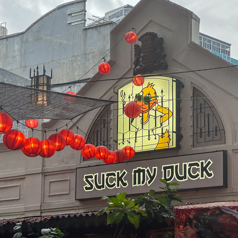
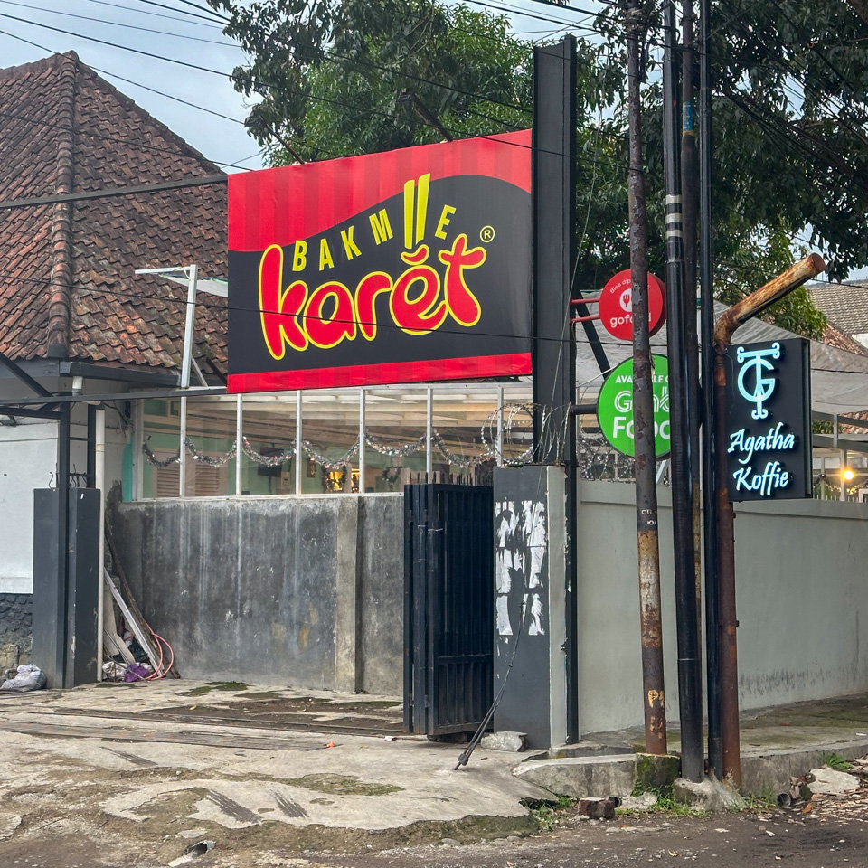
6 - a restaurant - you know what it sells
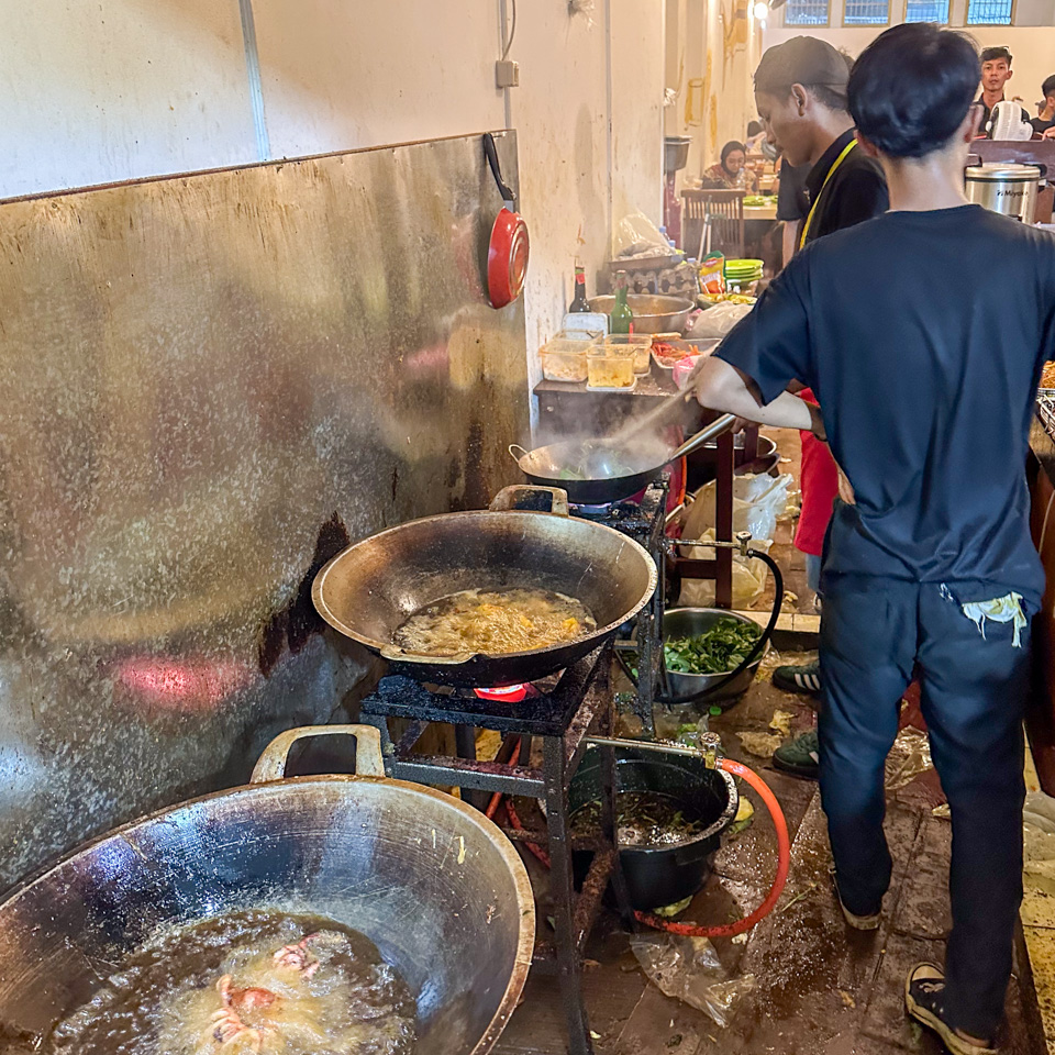
7 - frying the octopus
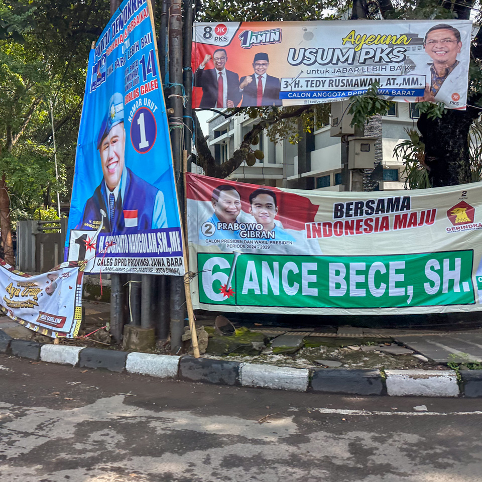
8 - during this time the streets are full of election propaganda ads
9-18 - coffee shops, coffee shops, coffee shops!
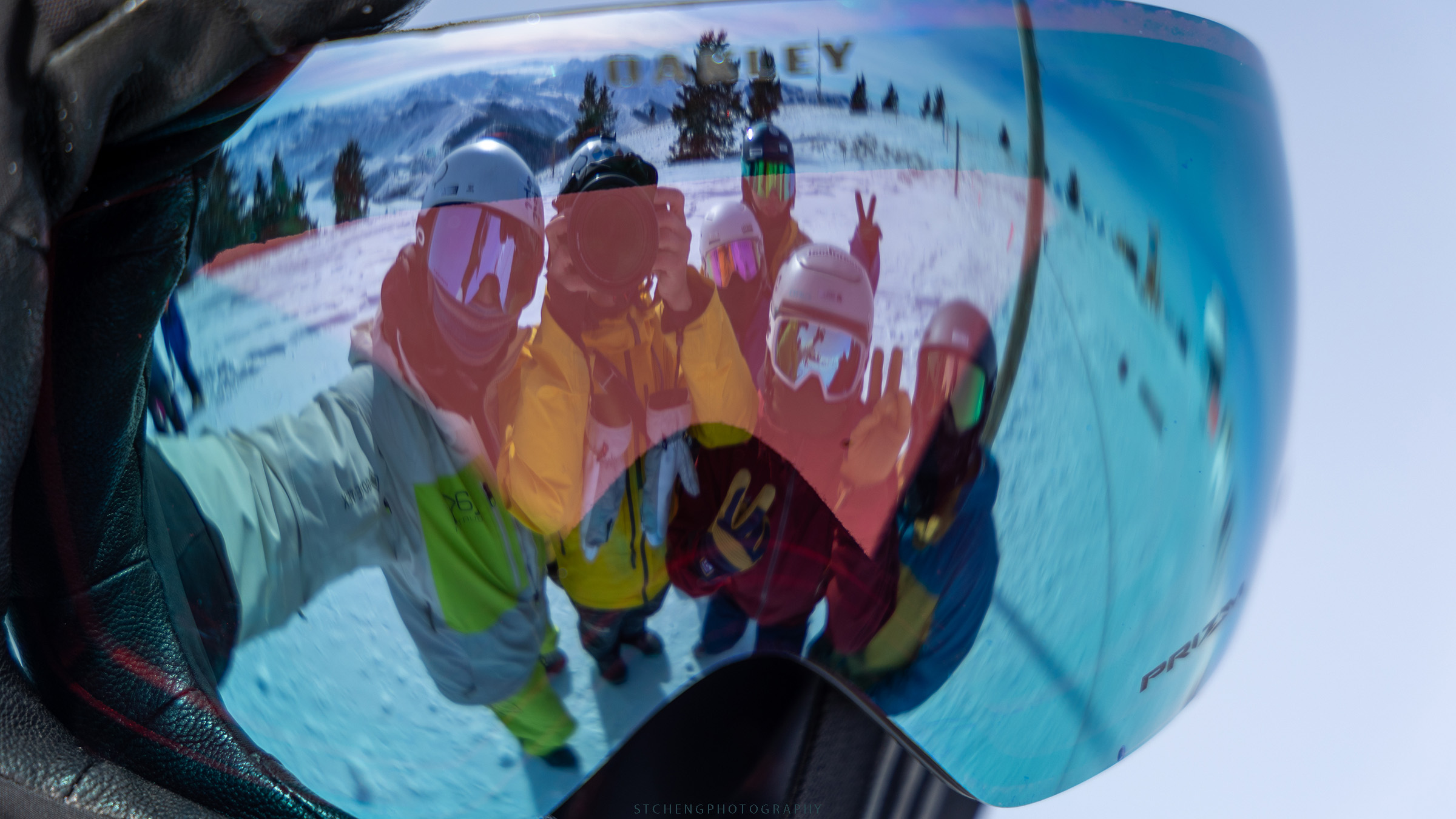
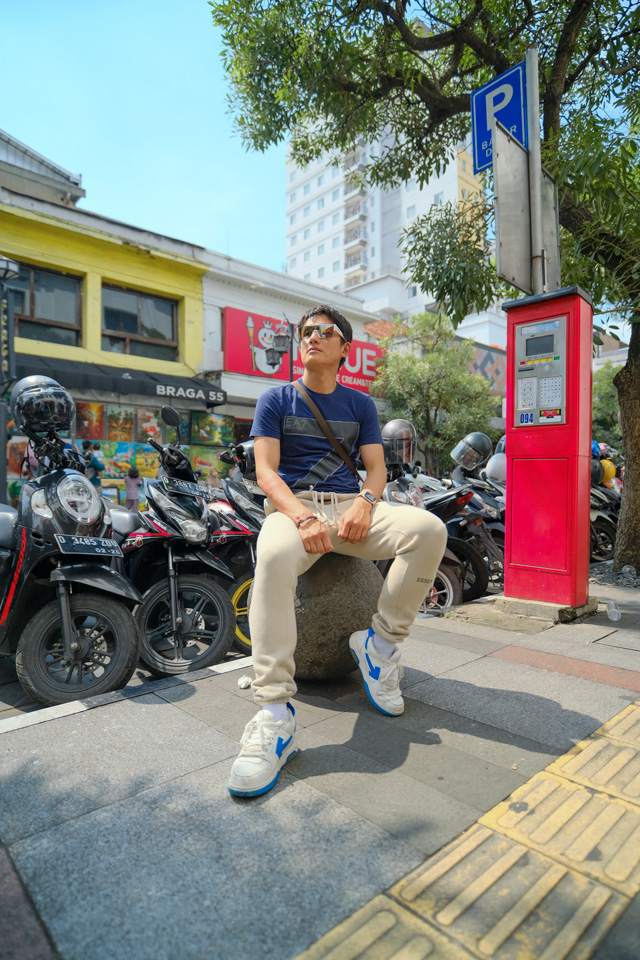
I was also thrilled to meet a girl collaborating with street photographers on Braga Street. Without her assistance, it would have been a challenge to have my photos taken by those photographers.
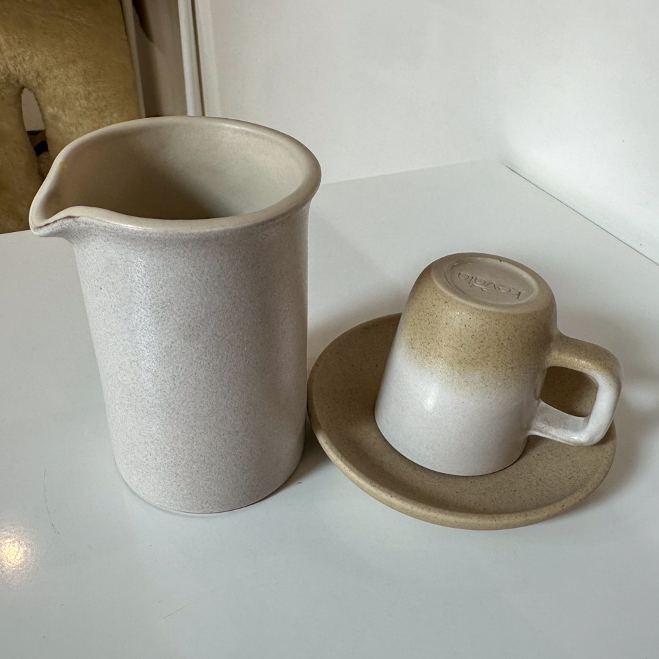
The staff at Jabarano Coffee were equally kind – I even received two complimentary coasters featuring their logo, items that were definitely not for sale.
As a tourist, I simply needed to let my curiosity lead, paired with genuine smiles, and everything else was wonderfully taken care of.
1 2 - Jack Runner Roastery
3 4 - Sawo Coffee and Roastery
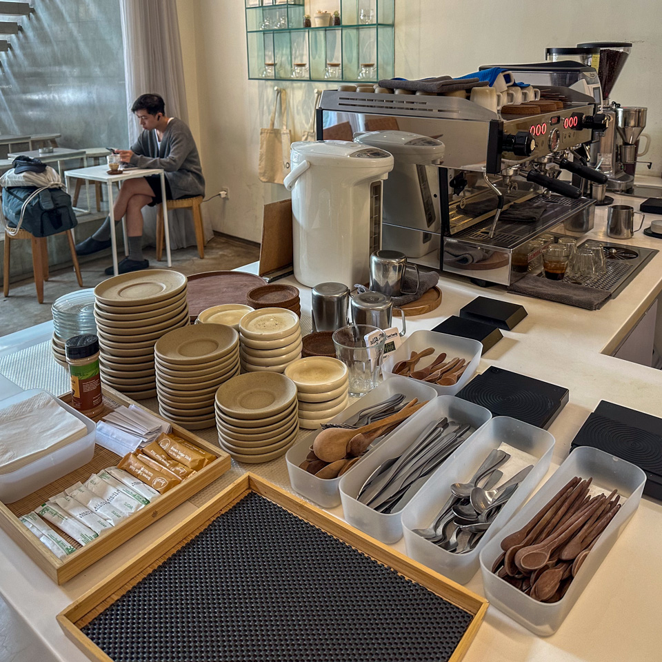
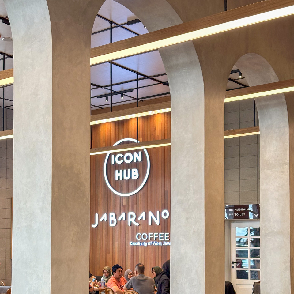
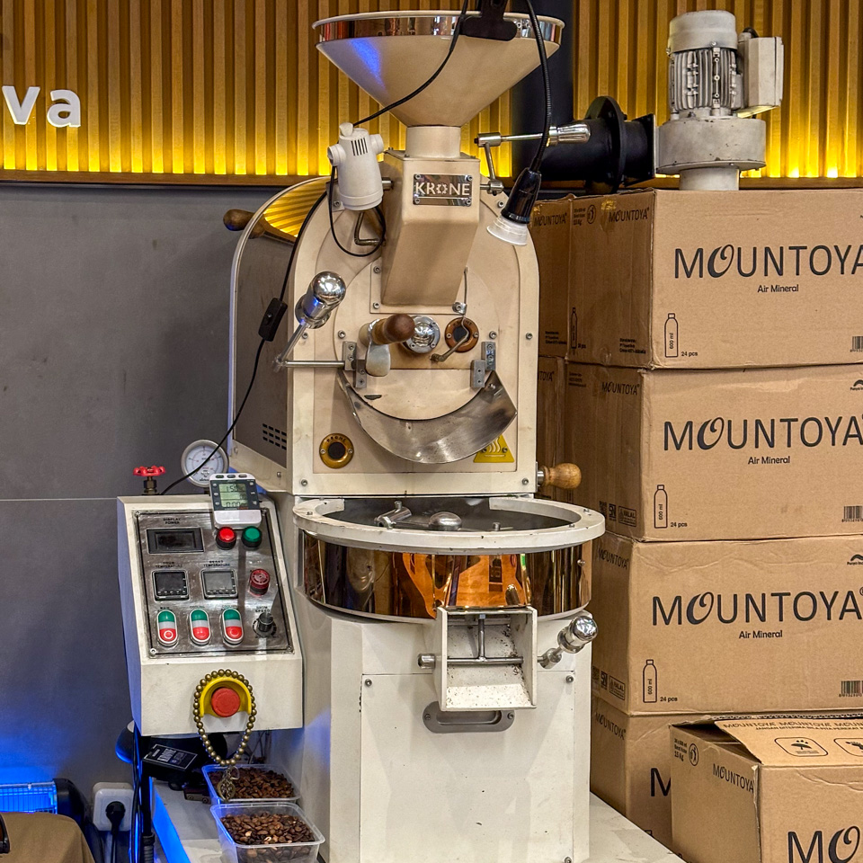
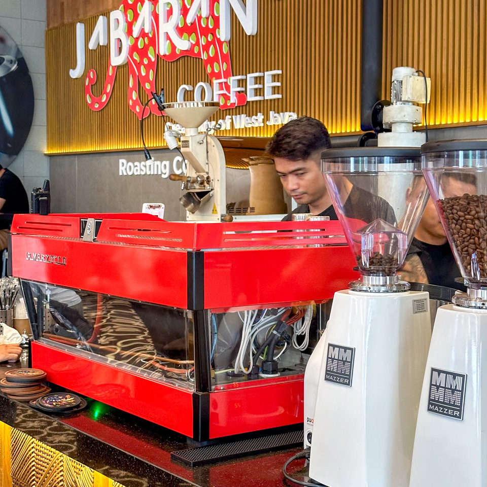
5 6 7 - Jabarano Coffee and its La Marzocco machine
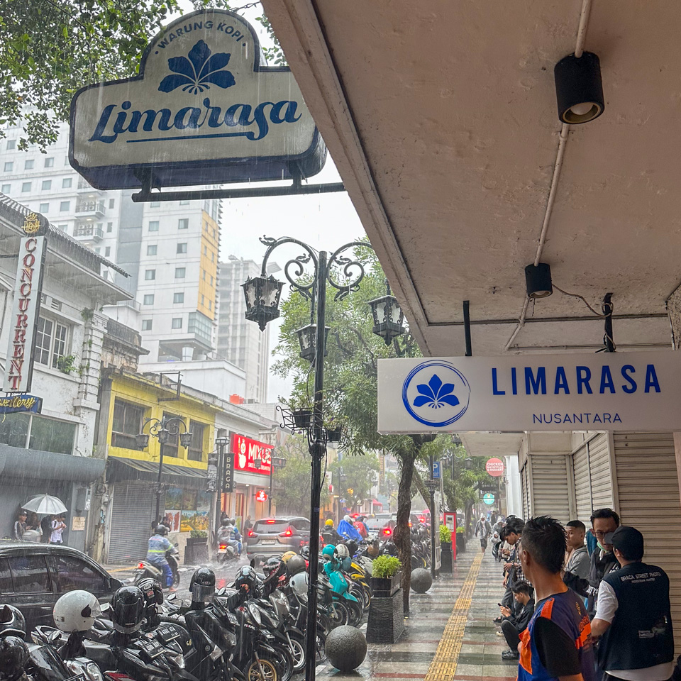
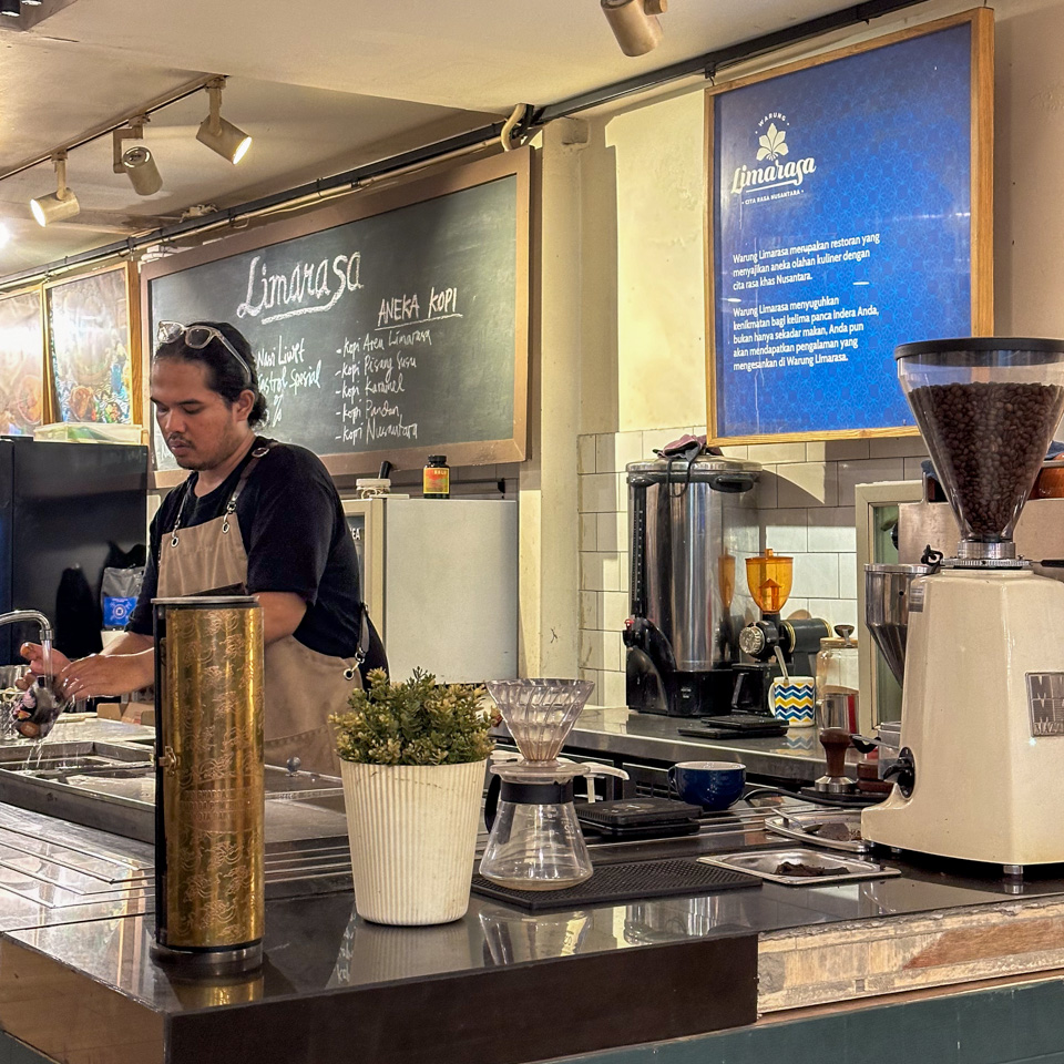
8 - Warung Kopi Limarasa
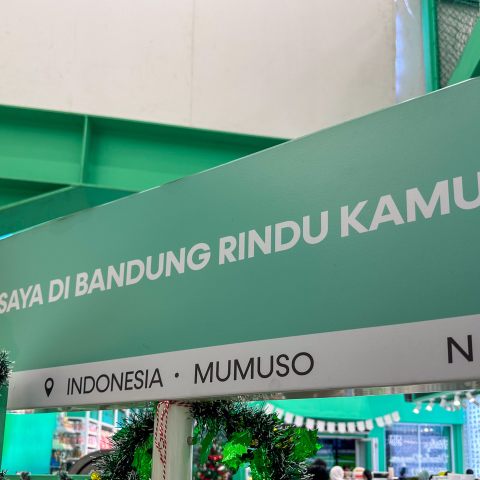
9 - I miss you in Bandung - this street sign like thing is so popular in China that it has extended overseas
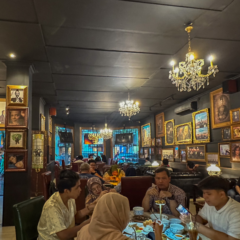
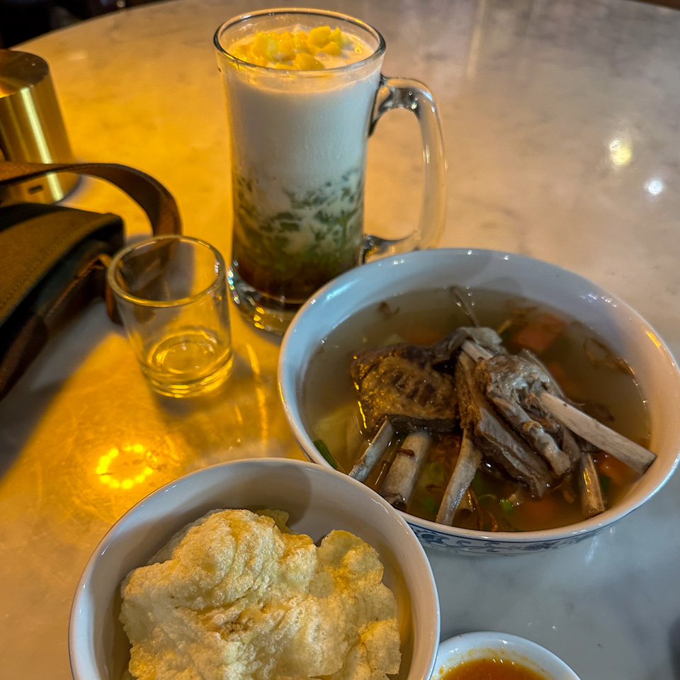
10-12 - Restoe Boemi Braga the lamb stew
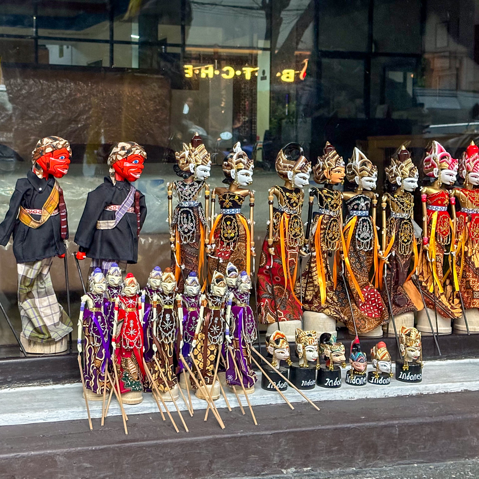
13 - the wayang golek being sold on the street
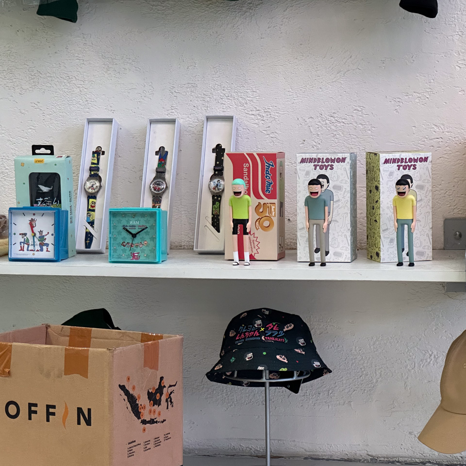
14-17 - Toko Tahalatas
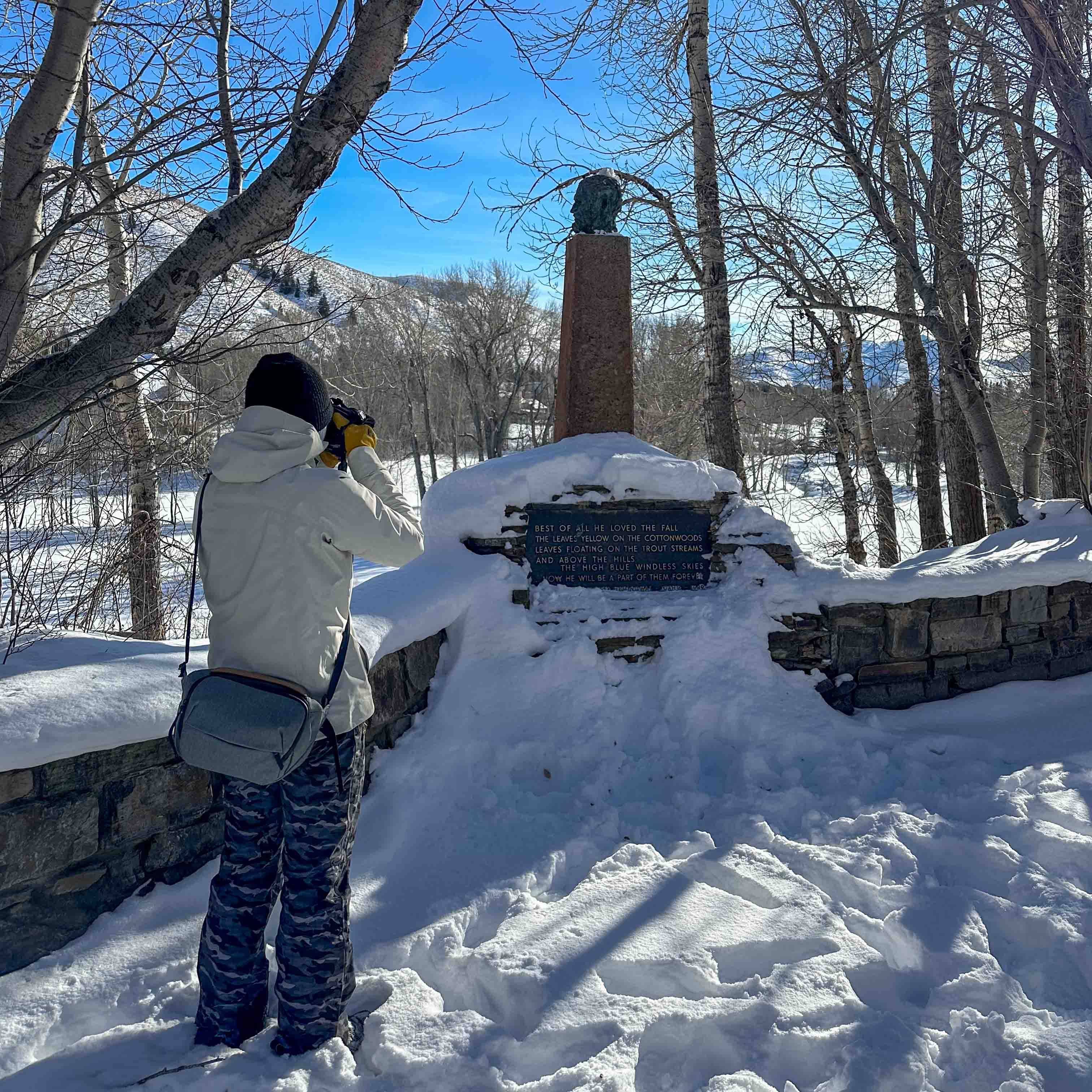
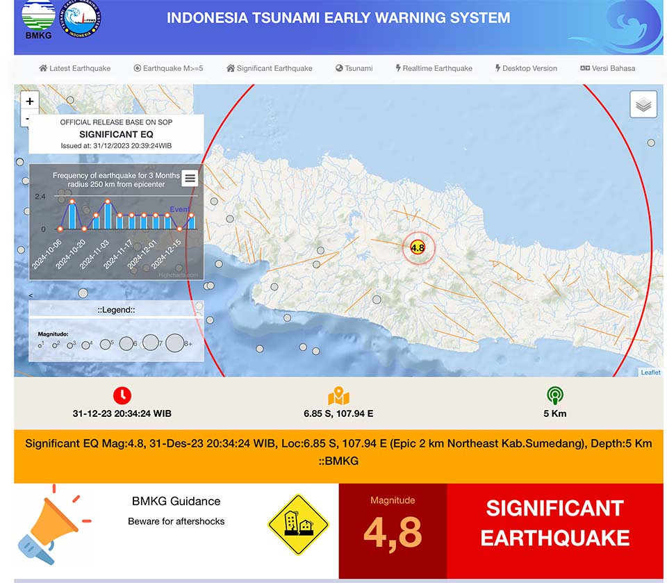
One particularly unexpected event occurred on New Year’s Eve: an earthquake. While I was sitting at my desk, everything began to sway mildly. The entire building emitted cracking noises, and I could feel it gently swinging. This lasted for less than 30 seconds but it was my first time experiencing such a noticeable earthquake. Later, when I checked online, I discovered it was a 4.8 magnitude quake, with its epicenter less than 10 kilometers away.
Regrettably, I slept through New Year’s Eve. I had planned to return to the fancy restaurant - Restoe Boemi Braga where I had lunch, but that was alright. The New Year’s sun rose right in front of my east-facing window around 5 AM, illuminating the entire city of Bandung amidst the morning mist. The mountains, or the volcanoes, formed a distant backdrop.
I admit that my timing wasn’t ideal for this visit – the best months are during the ‘early summer’ or ‘dry season,’ from May to July. Consequently, I didn’t explore beyond the city, nor even outside this local district - definitely uncharacteristic for me. Nevertheless, I was content with this staycation – I carefully explored this part of the city and tried to immerse myself in the local atmosphere.
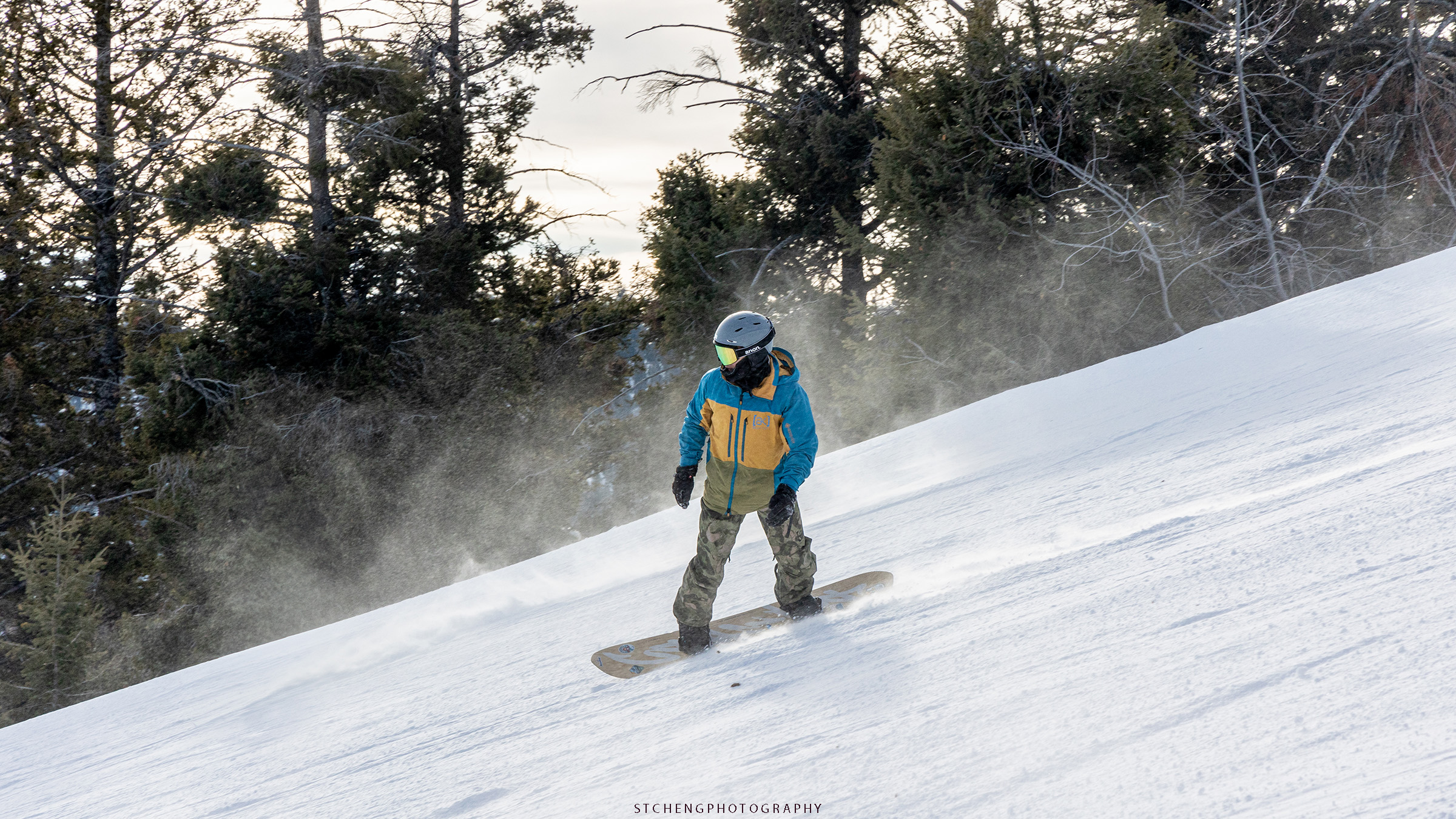
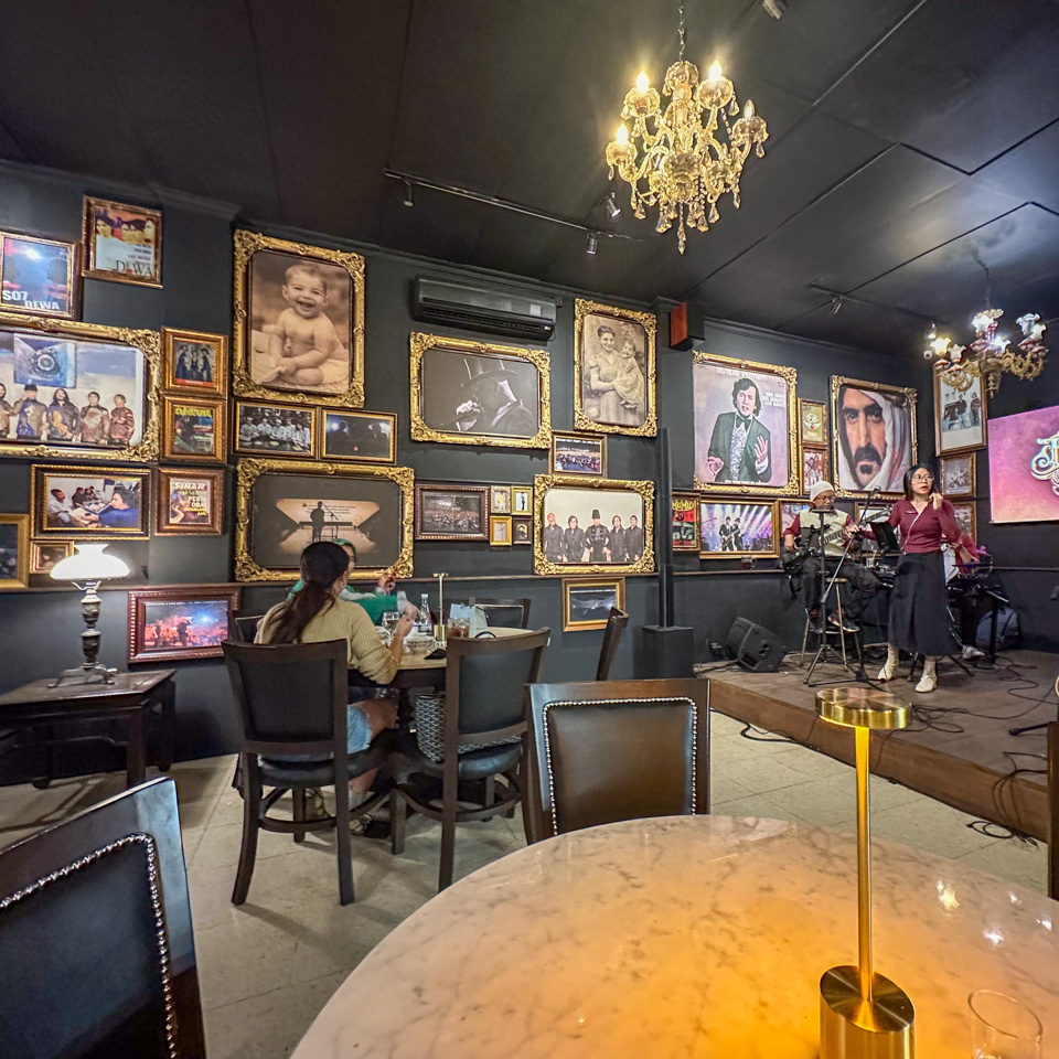
5 6 7 - some photos taken by the Braga street photographers - vintage style reminiscent of 20 years ago 😂
Upon arrival, my initial, somewhat naive impression questioned the necessity of the high-speed train connection to Bandung. However, after just three days, I understood that Bandung was vast and markedly different from Jakarta. Not every city needs to be filled with skyscrapers like Jakarta or those in China. Here, people mostly live in standalone houses, be they luxurious or modest. The large number of houses I saw truly defined the city.
While it might be inevitable for these cities like Bandung to eventually evolve into smaller versions of Jakarta, for now, Bandung retains its unique character. Moreover, the happiness of its residents does not depend on the city’s size.